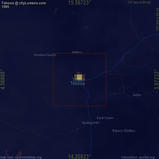
Tahoua night lights from space
Night Light of Tahoua from space (Niger) Src. Average luminocity for 10x10km area is 11.9979% and for 50x50km: 0.4991%.
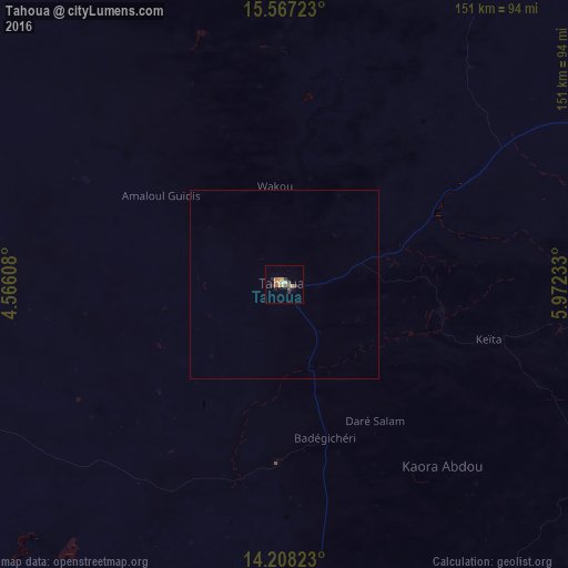
Analysis of Tahoua night lights 2016
Square area 10x10 km:
 0.21%
0.21%90-99
1.45%80-89
1.45%70-79
2.69%60-69
2.48%50-59
1.03%40-49
3.1%30-39
2.48%20-29
1.86%10-19
1.45%0-9
81.82%Square area 50x50 km:
0.01%90-99
0.06%80-89
0.06%70-79
0.11%60-69
0.1%50-59
0.04%40-49
0.12%30-39
0.1%20-29
0.07%10-19
0.06%0-9
99.27%Clear (daylight) street map image can be seen on geolist.org.
Map coordinates:
15° 34' 2" North, 4° 33' 57.9" East
14° 53' 19.7" North, 5° 16' 9.1" East
14° 12' 29.6" North, 5° 58' 20.4" East
Some cities around Tahoua sort by population:
• Birni N Konni
121.5 km =75.5 mi,  180°
180°
• Madaoua
117.3 km =72.9 mi,  140°
140°
• Illela, NG
128.8 km =80 mi, 178°
• Illéla
47.7 km =29.6 mi, 183°
• Abalak
125.1 km =77.7 mi,  60°
60°
• Keïta
56.4 km =35 mi,  105°
105°
• Tchintabaraden
125.6 km =78 mi,  26°
26°
• Bouza
98 km =60.9 mi,  121°
121°
2439376 (p: 80,425)
Sources (retrieved 2019-11-25):
» NASA, Earths city lights 1995
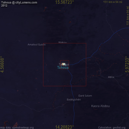
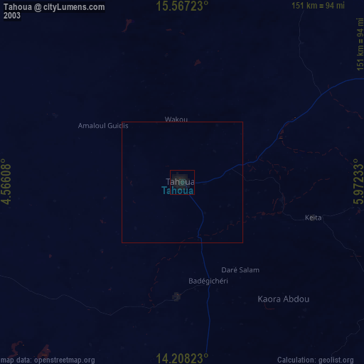
» NASA city lights 2003
» Earth at Night: Flat Maps 2012, 2016