Dakoro night lights from space
Night Light of Dakoro (Maradi) from space (Niger) Src. Average luminocity for 10x10km area is 0.2727% and for 50x50km: 0.0103%.
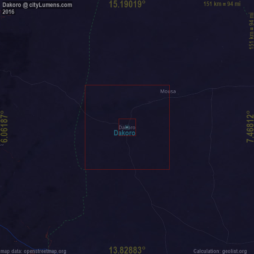
Analysis of Dakoro night lights 2016
Square area 10x10 km:
 0%
0%90-99
0%80-89
0%70-79
0%60-69
0%50-59
0%40-49
0%30-39
0%20-29
0.87%10-19
0%0-9
99.13%Square area 50x50 km:
0%90-99
0%80-89
0%70-79
0%60-69
0%50-59
0%40-49
0%30-39
0%20-29
0.03%10-19
0%0-9
99.97%Clear (daylight) street map image can be seen on geolist.org.
Map coordinates:
15° 11' 24.7" North, 6° 3' 42.7" East
14° 30' 38" North, 6° 45' 54" East
13° 49' 43.8" North, 7° 28' 5.2" East
Some cities around Dakoro sort by population:
• Maradi
118.1 km =73.4 mi,  162°
162°
• Madaoua
99.5 km =61.8 mi,  240°
240°
• Mayahi
115.5 km =71.8 mi,  122°
122°
• Tibiri
109.7 km =68.2 mi, 163°
• Abalak
116.8 km =72.6 mi,  333°
333°
• Madarounfa
140.1 km =87.1 mi, 162°
• Keïta
109.9 km =68.3 mi,  284°
284°
• Bouza
78.4 km =48.7 mi,  262°
262°
2446267 (p: 19,798)
Sources (retrieved 2019-11-25):
» Earth at Night: Flat Maps 2012, 2016