Abalak night lights from space
Night Light of Abalak (Tahoua) from space (Niger) Src. Average luminocity for 10x10km area is 0.0303% and for 50x50km: 0.0012%.
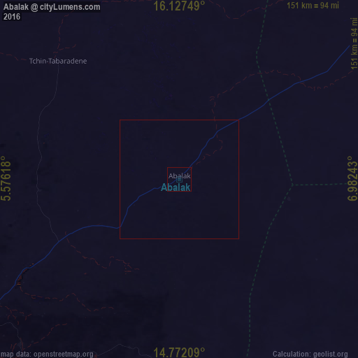
Analysis of Abalak night lights 2016
Square area 10x10 km:
 0%
0%90-99
0%80-89
0%70-79
0%60-69
0%50-59
0%40-49
0%30-39
0%20-29
0%10-19
0%0-9
100%Square area 50x50 km:
0%90-99
0%80-89
0%70-79
0%60-69
0%50-59
0%40-49
0%30-39
0%20-29
0%10-19
0%0-9
100%Clear (daylight) street map image can be seen on geolist.org.
Map coordinates:
16° 7' 39" North, 5° 34' 34.2" East
15° 27' 3.2" North, 6° 16' 45.5" East
14° 46' 19.5" North, 6° 58' 56.7" East
Some cities around Abalak sort by population:
• Tahoua
125.1 km =77.7 mi,  240°
240°
• Birni N Konni
214.7 km =133.4 mi,  211°
211°
• Madaoua
157 km =97.6 mi,  192°
192°
• Dakoro
116.8 km =72.6 mi,  153°
153°
• Illéla
156.5 km =97.2 mi,  225°
225°
• Keïta
94.4 km =58.7 mi, 214°
• Tchintabaraden
71.5 km =44.4 mi,  313°
313°
• Bouza
117.1 km =72.8 mi, 192°
2448245 (p: 13,555)
Sources (retrieved 2019-11-25):
» Earth at Night: Flat Maps 2012, 2016