Madaoua night lights from space
Night Light of Madaoua (Tahoua) from space (Niger) Src. Average luminocity for 10x10km area is 0.8918% and for 50x50km: 0.0344%.
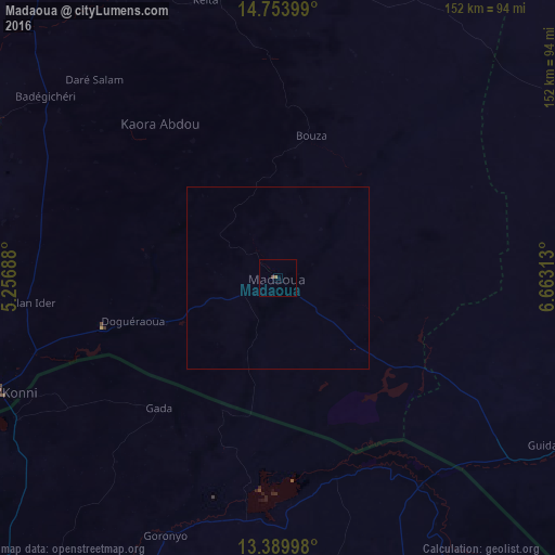
Analysis of Madaoua night lights 2016
Square area 10x10 km:
 0%
0%90-99
0%80-89
0%70-79
0%60-69
0.87%50-59
0%40-49
0%30-39
0.87%20-29
0%10-19
0%0-9
98.27%Square area 50x50 km:
0%90-99
0%80-89
0%70-79
0%60-69
0.03%50-59
0%40-49
0%30-39
0.03%20-29
0%10-19
0%0-9
99.93%Clear (daylight) street map image can be seen on geolist.org.
Map coordinates:
14° 45' 14.4" North, 5° 15' 24.8" East
14° 4' 22.8" North, 5° 57' 36" East
13° 23' 23.9" North, 6° 39' 47.3" East
Some cities around Madaoua sort by population:
• Birni N Konni
82.6 km =51.3 mi,  248°
248°
• Dakoro
99.5 km =61.8 mi,  60°
60°
• Illela, NG
81 km =50.3 mi,  241°
241°
• Illéla
88.4 km =54.9 mi,  299°
299°
• Wurno, NG
104.5 km =64.9 mi,  213°
213°
• Goronyo, NG
76.7 km =47.7 mi,  203°
203°
• Keïta
78.4 km =48.7 mi,  345°
345°
• Bouza
39.9 km =24.8 mi,  12°
12°
2441530 (p: 24,804)
Sources (retrieved 2019-11-25):
» Earth at Night: Flat Maps 2012, 2016