Keïta night lights from space
Night Light of Keïta (Tahoua) from space (Niger) Src. Average luminocity for 10x10km area is 0% and for 50x50km: 0%.
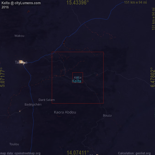
Analysis of Keïta night lights 2016
Square area 10x10 km:
100  0%
0%
90-99 0%
80-89 0%
70-79 0%
60-69 0%
50-59 0%
40-49 0%
30-39 0%
20-29 0%
10-19 0%
0-9 100%
0%90-99
0%80-89
0%70-79
0%60-69
0%50-59
0%40-49
0%30-39
0%20-29
0%10-19
0%0-9
100%Square area 50x50 km:
100 0%
90-99 0%
80-89 0%
70-79 0%
60-69 0%
50-59 0%
40-49 0%
30-39 0%
20-29 0%
10-19 0%
0-9 100%
0%90-99
0%80-89
0%70-79
0%60-69
0%50-59
0%40-49
0%30-39
0%20-29
0%10-19
0%0-9
100%Clear (daylight) street map image can be seen on geolist.org.
Map coordinates:
15° 26' 2.3" North, 5° 4' 18.4" East
14° 45' 18.4" North, 5° 46' 29.6" East
14° 4' 26.8" North, 6° 28' 40.9" East
Some cities around Keïta sort by population:
• Tahoua
56.4 km =35 mi,  285°
285°
• Birni N Konni
120.7 km =75 mi,  207°
207°
• Madaoua
78.4 km =48.7 mi,  165°
165°
• Dakoro
109.9 km =68.3 mi,  104°
104°
• Illela, NG
125 km =77.7 mi,  204°
204°
• Illéla
65.9 km =40.9 mi,  240°
240°
• Abalak
94.4 km =58.7 mi,  34°
34°
• Bouza
46.9 km =29.1 mi,  142°
142°
2442478 (p: 8,960)
Sources (retrieved 2019-11-25):
» Earth at Night: Flat Maps 2012, 2016