Illéla night lights from space
Night Light of Illéla (Tahoua) from space (Niger) Src. Average luminocity for 10x10km area is 0.4199% and for 50x50km: 0.0162%.
Analysis of Illéla night lights 2016
Square area 10x10 km:
 0%
0%90-99
0%80-89
0%70-79
0%60-69
0%50-59
0%40-49
0.87%30-39
0%20-29
0%10-19
0%0-9
99.13%Square area 50x50 km:
0%90-99
0%80-89
0%70-79
0%60-69
0%50-59
0%40-49
0.03%30-39
0%20-29
0%10-19
0%0-9
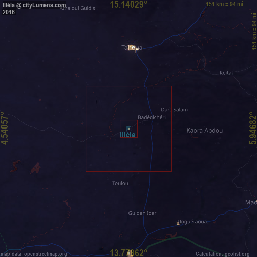
99.97%Clear (daylight) street map image can be seen on geolist.org.
Map coordinates:
15° 8' 25" North, 4° 32' 26.1" East
14° 27' 37.8" North, 5° 14' 37.3" East
13° 46' 43" North, 5° 56' 48.6" East
Some cities around Illéla sort by population:
• Tahoua
47.7 km =29.6 mi,  3°
3°
• Birni N Konni
73.9 km =45.9 mi,  179°
179°
• Madaoua
88.4 km =54.9 mi,  119°
119°
• Gwadabawa, NG
122.6 km =76.2 mi, 180°
• Wurno, NG
131.5 km =81.7 mi,  171°
171°
• Goronyo, NG
122.3 km =76 mi,  157°
157°
• Keïta
65.9 km =40.9 mi,  60°
60°
• Bouza
86.1 km =53.5 mi,  92°
92°
2443304 (p: 16,678)
Sources (retrieved 2019-11-25):
» Earth at Night: Flat Maps 2012, 2016