Tanout night lights from space
Night Light of Tanout (Zinder) from space (Niger) Src. Average luminocity for 10x10km area is 0.531% and for 50x50km: 0.0212%.
Analysis of Tanout night lights 2016
Square area 10x10 km:
 0%
0%90-99
0%80-89
0%70-79
0%60-69
0%50-59
0%40-49
0.83%30-39
0%20-29
0%10-19
0.83%0-9
98.35%Square area 50x50 km:
0%90-99
0%80-89
0%70-79
0%60-69
0%50-59
0%40-49
0.03%30-39
0%20-29
0%10-19
0.03%0-9
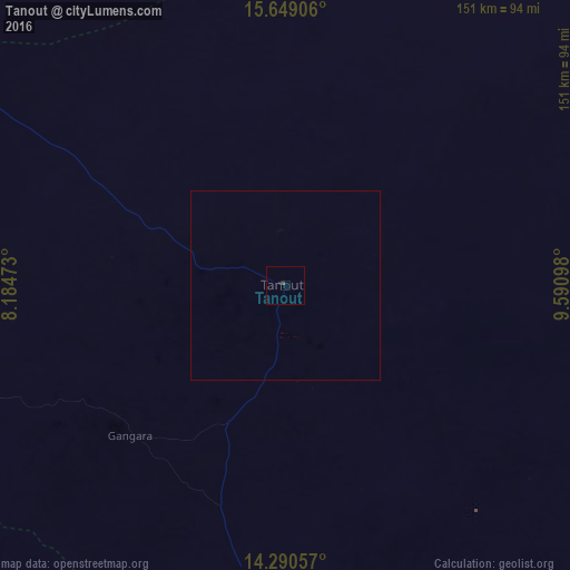
99.93%Clear (daylight) street map image can be seen on geolist.org.
Map coordinates:
15° 38' 56.6" North, 8° 11' 5" East
14° 58' 15.2" North, 8° 53' 16.3" East
14° 17' 26.1" North, 9° 35' 27.5" East
Some cities around Tanout sort by population:
• Zinder
129.8 km =80.7 mi,  175°
175°
• Tessaoua
166.2 km =103.3 mi,  215°
215°
• Mayahi
172.9 km =107.4 mi,  229°
229°
• Mirriah
143.3 km =89 mi,  168°
168°
• Matamey
177.8 km =110.5 mi,  194°
194°
• Gouré
184.9 km =114.9 mi,  126°
126°
• Aguié
202 km =125.5 mi, 216°
• Zango, NG
217.6 km =135.2 mi, 191°
2439155 (p: 15,204)
Sources (retrieved 2019-11-25):
» Earth at Night: Flat Maps 2012, 2016