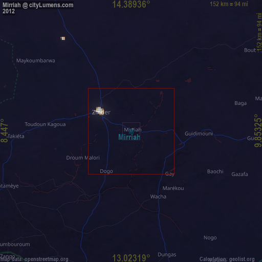
Mirriah night lights from space
Night Light of Mirriah (Zinder) from space (Niger) Src. Average luminocity for 10x10km area is 0% and for 50x50km: 0.8175%.
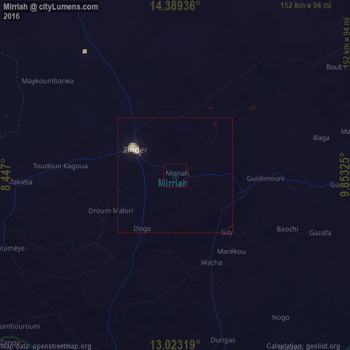
Analysis of Mirriah night lights 2016
Square area 10x10 km:
 0%
0%90-99
0%80-89
0%70-79
0%60-69
0%50-59
0%40-49
0%30-39
0%20-29
0%10-19
0%0-9
100%Square area 50x50 km:
0.05%90-99
0.12%80-89
0.13%70-79
0.19%60-69
0.07%50-59
0%40-49
0.22%30-39
0.04%20-29
0.1%10-19
0.15%0-9
98.93%Clear (daylight) street map image can be seen on geolist.org.
Map coordinates:
14° 23' 21.7" North, 8° 26' 49.2" East
13° 42' 26.2" North, 9° 9' 0.5" East
13° 1' 23.5" North, 9° 51' 11.7" East
Some cities around Mirriah sort by population:
• Zinder
20.7 km =12.9 mi,  302°
302°
• Gumel, NG
122.9 km =76.4 mi,  167°
167°
• Daura, NG
116.7 km =72.5 mi,  230°
230°
• Magaria
83 km =51.6 mi,  198°
198°
• Matamey
79.5 km =49.4 mi,  246°
246°
• Zango, NG
102.3 km =63.6 mi,  224°
224°
• Machina, NG
116.1 km =72.1 mi,  123°
123°
• Babura, NG
105 km =65.2 mi,  187°
187°
2440921 (p: 20,724)
Sources (retrieved 2019-11-25):
» Earth at Night: Flat Maps 2012, 2016