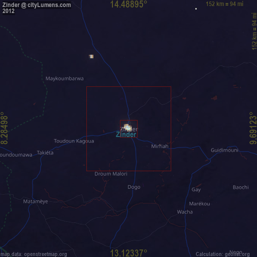
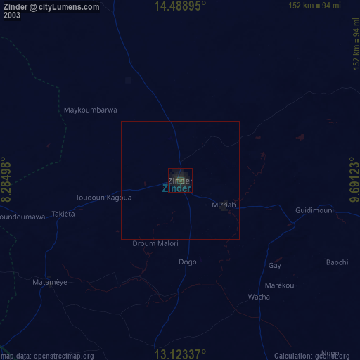
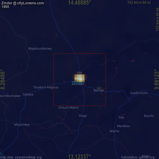
Zinder night lights from space
Night Light of Zinder from space (Niger) Src. Average luminocity for 10x10km area is 19.1219% and for 50x50km: 0.8188%.

Analysis of Zinder night lights 2016
Square area 10x10 km:
 1.24%
1.24%90-99
3.1%80-89
3.31%70-79
4.75%60-69
1.65%50-59
0%40-49
5.58%30-39
1.03%20-29
2.48%10-19
3.72%0-9
73.14%Square area 50x50 km:
0.05%90-99
0.12%80-89
0.13%70-79
0.19%60-69
0.07%50-59
0%40-49
0.22%30-39
0.04%20-29
0.1%10-19
0.15%0-9
98.93%Clear (daylight) street map image can be seen on geolist.org.
Map coordinates:
14° 29' 20.2" North, 8° 17' 5.9" East
13° 48' 25.8" North, 8° 59' 17.2" East
13° 7' 24.1" North, 9° 41' 28.4" East
Some cities around Zinder sort by population:
• Tessaoua
108.2 km =67.2 mi,  267°
267°
• Daura, NG
112.1 km =69.7 mi,  219°
219°
• Mirriah
20.7 km =12.9 mi,  122°
122°
• Magaria
90.3 km =56.1 mi,  185°
185°
• Matamey
70 km =43.5 mi,  232°
232°
• Tanout
129.8 km =80.7 mi,  355°
355°
• Zango, NG
99.9 km =62.1 mi,  212°
212°
• Babura, NG
115.1 km =71.5 mi,  178°
178°
2437798 (p: 191,424)
Sources (retrieved 2019-11-25):
» NASA, Earths city lights 1995
» NASA city lights 2003
» Earth at Night: Flat Maps 2012, 2016