Windhoek night lights from space
Night Light of Windhoek (Khomas) from space (Namibia) Src. Average luminocity for 10x10km area is 75.6875% and for 50x50km: 7.301%.
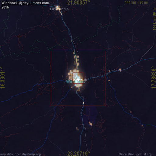
Analysis of Windhoek night lights 2016
Square area 10x10 km:
 25%
25%90-99
26.52%80-89
4.36%70-79
9.28%60-69
7.01%50-59
3.6%40-49
6.63%30-39
7.95%20-29
6.25%10-19
3.41%0-9
0%Square area 50x50 km:
1.4%90-99
1.51%80-89
0.44%70-79
1.05%60-69
0.83%50-59
0.56%40-49
1.23%30-39
0.95%20-29
1.99%10-19
4.5%0-9
85.53%Clear (daylight) street map image can be seen on geolist.org.
Map coordinates:
21° 54' 30.9" South, 16° 22' 48.4" East
22° 33' 33.9" South, 17° 4' 59.6" East
23° 12' 25.9" South, 17° 47' 10.9" East
Some cities around Windhoek sort by population:
• Rehoboth
84.2 km =52.3 mi,  179°
179°
• Katutura
4.7 km =2.9 mi,  329°
329°
• Okahandja
66.3 km =41.2 mi,  345°
345°
• Gobabis
193.9 km =120.5 mi,  86°
86°
• Omaruru
172.4 km =107.1 mi,  316°
316°
• Usakos
164.8 km =102.4 mi,  292°
292°
• Otjimbingwe
100.3 km =62.3 mi,  283°
283°
• Karibib
146.3 km =90.9 mi,  298°
298°
3352136 (p: 268,132)
Sources (retrieved 2019-11-25):
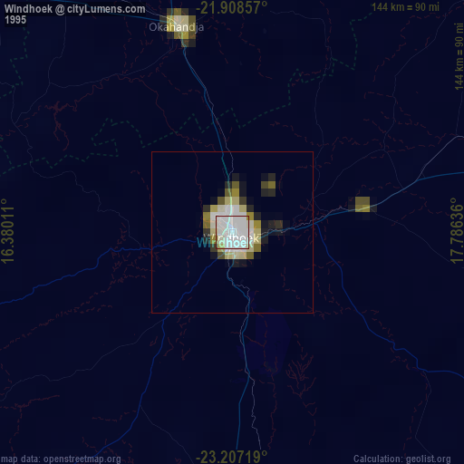
» NASA, Earths city lights 1995
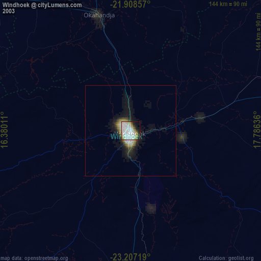
» NASA city lights 2003
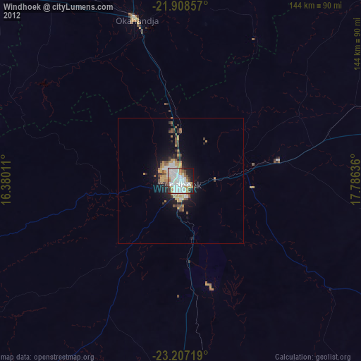
» Earth at Night: Flat Maps 2012, 2016