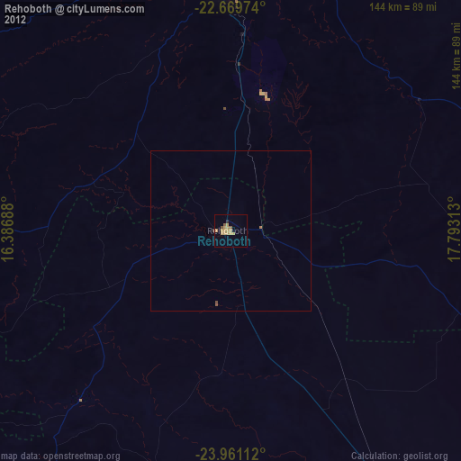
Rehoboth night lights from space
Night Light of Rehoboth (Hardap) from space (Namibia) Src. Average luminocity for 10x10km area is 11.5549% and for 50x50km: 0.5071%.
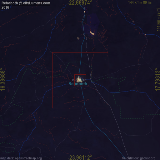
Analysis of Rehoboth night lights 2016
Square area 10x10 km:
 0%
0%90-99
0.19%80-89
1.33%70-79
4.17%60-69
3.6%50-59
2.08%40-49
1.52%30-39
1.33%20-29
0.95%10-19
0.76%0-9
84.09%Square area 50x50 km:
0%90-99
0.01%80-89
0.05%70-79
0.17%60-69
0.15%50-59
0.09%40-49
0.06%30-39
0.09%20-29
0.04%10-19
0.03%0-9
99.31%Clear (daylight) street map image can be seen on geolist.org.
Map coordinates:
22° 40' 11.1" South, 16° 23' 12.8" East
23° 19' 1.2" South, 17° 5' 24" East
23° 57' 40" South, 17° 47' 35.3" East
Some cities around Rehoboth sort by population:
• Windhoek
84.2 km =52.3 mi,  359°
359°
• Katutura
88.3 km =54.9 mi, 358°
• Okahandja
149.4 km =92.8 mi,  353°
353°
• Gobabis
215.1 km =133.7 mi,  63°
63°
• Mariental
171.3 km =106.4 mi,  148°
148°
• Usakos
211.7 km =131.5 mi,  313°
313°
• Otjimbingwe
145.5 km =90.4 mi,  317°
317°
• Karibib
200.8 km =124.8 mi, 320°
3353540 (p: 21,377)
Sources (retrieved 2019-11-25):
» Earth at Night: Flat Maps 2012, 2016