Katutura night lights from space
Night Light of Katutura (Khomas) from space (Namibia) Src. Average luminocity for 10x10km area is 67.1534% and for 50x50km: 7.2886%.
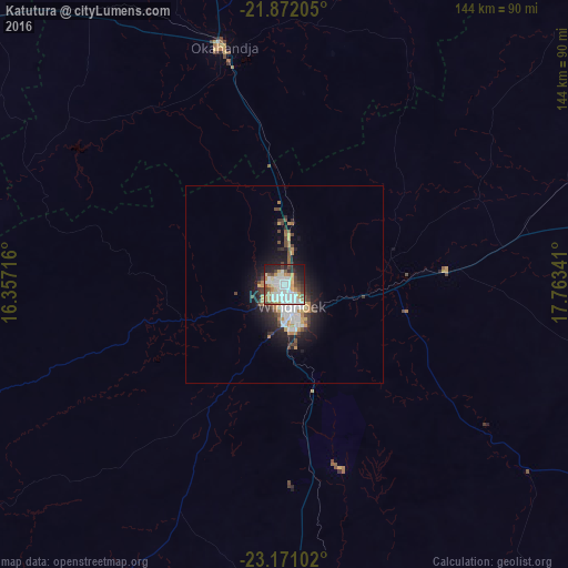
Analysis of Katutura night lights 2016
Square area 10x10 km:
 19.7%
19.7%90-99
19.89%80-89
5.49%70-79
8.71%60-69
7.39%50-59
5.11%40-49
8.33%30-39
4.55%20-29
12.69%10-19
7.95%0-9
0.19%Square area 50x50 km:
1.4%90-99
1.51%80-89
0.44%70-79
1.02%60-69
0.85%50-59
0.56%40-49
1.23%30-39
0.95%20-29
1.99%10-19
4.5%0-9
85.55%Clear (daylight) street map image can be seen on geolist.org.
Map coordinates:
21° 52' 19.4" South, 16° 21' 25.8" East
22° 31' 23" South, 17° 3' 37" East
23° 10' 15.7" South, 17° 45' 48.3" East
Some cities around Katutura sort by population:
• Windhoek
4.7 km =2.9 mi,  149°
149°
• Rehoboth
88.3 km =54.9 mi,  178°
178°
• Okahandja
61.8 km =38.4 mi,  346°
346°
• Gobabis
196 km =121.8 mi,  87°
87°
• Omaruru
167.9 km =104.3 mi,  316°
316°
• Usakos
161.1 km =100.1 mi,  291°
291°
• Otjimbingwe
97.2 km =60.4 mi,  281°
281°
• Karibib
142.3 km =88.4 mi,  297°
297°
3356294 (p: 21,243)
Sources (retrieved 2019-11-25):
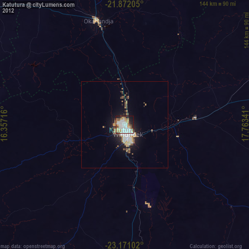
» Earth at Night: Flat Maps 2012, 2016