Gobabis night lights from space
Night Light of Gobabis (Omaheke) from space (Namibia) Src. Average luminocity for 10x10km area is 14.4545% and for 50x50km: 0.6586%.
Analysis of Gobabis night lights 2016
Square area 10x10 km:
 0%
0%90-99
0%80-89
3.03%70-79
5.87%60-69
2.46%50-59
0.57%40-49
3.22%30-39
3.41%20-29
1.14%10-19
0.19%0-9
80.11%Square area 50x50 km:
0%90-99
0%80-89
0.13%70-79
0.25%60-69
0.1%50-59
0.02%40-49
0.14%30-39
0.16%20-29
0.06%10-19
0.01%0-9
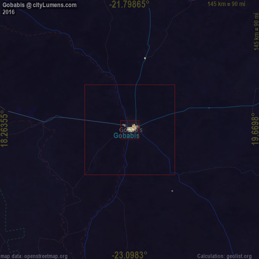
99.13%Clear (daylight) street map image can be seen on geolist.org.
Map coordinates:
21° 47' 55.1" South, 18° 15' 48.8" East
22° 27' 0" South, 18° 58' 0" East
23° 5' 53.9" South, 19° 40' 11.3" East
Some cities around Gobabis sort by population:
• Windhoek
193.9 km =120.5 mi,  266°
266°
• Rehoboth
215.1 km =133.7 mi,  243°
243°
• Katutura
196 km =121.8 mi, 267°
• Okahandja
217.3 km =135 mi,  283°
283°
• Mariental
263.3 km =163.6 mi,  202°
202°
• Ghanzi, BW
288.4 km =179.2 mi,  73°
73°
• Otjimbingwe
291.5 km =181.1 mi, 272°
• Okakarara
261.2 km =162.3 mi,  322°
322°
3357247 (p: 16,321)
Sources (retrieved 2019-11-25):
» Earth at Night: Flat Maps 2012, 2016