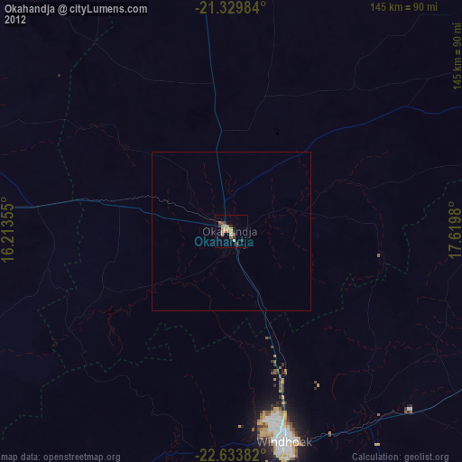
Okahandja night lights from space
Night Light of Okahandja (Otjozondjupa) from space (Namibia) Src. Average luminocity for 10x10km area is 13.3988% and for 50x50km: 0.5843%.
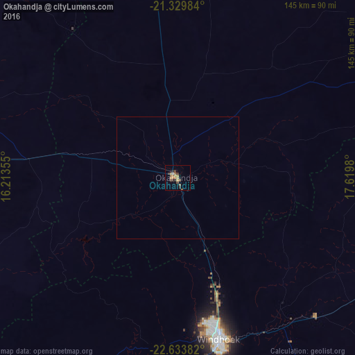
Analysis of Okahandja night lights 2016
Square area 10x10 km:
 0%
0%90-99
0.79%80-89
0.6%70-79
4.56%60-69
3.97%50-59
0.79%40-49
4.56%30-39
1.79%20-29
1.79%10-19
1.19%0-9
79.96%Square area 50x50 km:
0%90-99
0.03%80-89
0.02%70-79
0.19%60-69
0.17%50-59
0.04%40-49
0.19%30-39
0.07%20-29
0.07%10-19
0.05%0-9
99.17%Clear (daylight) street map image can be seen on geolist.org.
Map coordinates:
21° 19' 47.4" South, 16° 12' 48.8" East
21° 58' 60" South, 16° 55' 0" East
22° 38' 1.8" South, 17° 37' 11.3" East
Some cities around Okahandja sort by population:
• Windhoek
66.3 km =41.2 mi,  165°
165°
• Rehoboth
149.4 km =92.8 mi, 173°
• Katutura
61.8 km =38.4 mi, 166°
• Omaruru
118.6 km =73.7 mi,  301°
301°
• Usakos
135.8 km =84.4 mi,  269°
269°
• Otjimbingwe
90.4 km =56.2 mi,  243°
243°
• Karibib
111.9 km =69.5 mi, 272°
• Okakarara
164.6 km =102.3 mi,  18°
18°
3354898 (p: 20,879)
Sources (retrieved 2019-11-25):
» Earth at Night: Flat Maps 2012, 2016