Otjimbingwe night lights from space
Night Light of Otjimbingwe (Erongo) from space (Namibia) Src. Average luminocity for 10x10km area is 0.8504% and for 50x50km: 0.0358%.
Analysis of Otjimbingwe night lights 2016
Square area 10x10 km:
 0%
0%90-99
0%80-89
0%70-79
0.57%60-69
0.19%50-59
0%40-49
0%30-39
0.76%20-29
0%10-19
0%0-9
98.48%Square area 50x50 km:
0%90-99
0%80-89
0%70-79
0.02%60-69
0.01%50-59
0%40-49
0%30-39
0.03%20-29
0%10-19
0%0-9
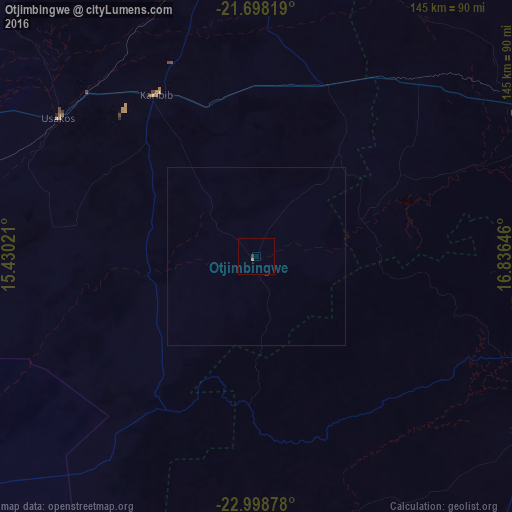
99.94%Clear (daylight) street map image can be seen on geolist.org.
Map coordinates:
21° 41' 53.5" South, 15° 25' 48.8" East
22° 21' 0" South, 16° 7' 60" East
22° 59' 55.6" South, 16° 50' 11.3" East
Some cities around Otjimbingwe sort by population:
• Windhoek
100.3 km =62.3 mi,  103°
103°
• Swakopmund
169 km =105 mi,  257°
257°
• Rehoboth
145.5 km =90.4 mi,  137°
137°
• Katutura
97.2 km =60.4 mi, 101°
• Okahandja
90.4 km =56.2 mi,  63°
63°
• Omaruru
104 km =64.6 mi,  348°
348°
• Usakos
67.3 km =41.8 mi,  305°
305°
• Karibib
55.7 km =34.6 mi,  326°
326°
3353871 (p: 7,677)
Sources (retrieved 2019-11-25):
» Earth at Night: Flat Maps 2012, 2016