Omaruru night lights from space
Night Light of Omaruru (Erongo) from space (Namibia) Src. Average luminocity for 10x10km area is 8.2273% and for 50x50km: 0.3686%.
Analysis of Omaruru night lights 2016
Square area 10x10 km:
 0.38%
0.38%90-99
0.38%80-89
0.76%70-79
4.73%60-69
2.84%50-59
0%40-49
0%30-39
0%20-29
0%10-19
0%0-9
90.91%Square area 50x50 km:
0.02%90-99
0.02%80-89
0.03%70-79
0.2%60-69
0.12%50-59
0%40-49
0%30-39
0%20-29
0.03%10-19
0%0-9
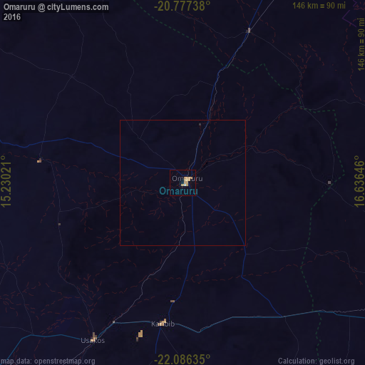
99.58%Clear (daylight) street map image can be seen on geolist.org.
Map coordinates:
20° 46' 38.6" South, 15° 13' 48.8" East
21° 25' 60" South, 15° 55' 60" East
22° 5' 10.9" South, 16° 38' 11.3" East
Some cities around Omaruru sort by population:
• Katutura
167.9 km =104.3 mi,  136°
136°
• Otjiwarongo
130.9 km =81.3 mi,  34°
34°
• Okahandja
118.6 km =73.7 mi,  121°
121°
• Khorixas
155.4 km =96.6 mi,  319°
319°
• Usakos
71.8 km =44.6 mi,  208°
208°
• Otjimbingwe
104 km =64.6 mi,  168°
168°
• Karibib
56.5 km =35.1 mi,  190°
190°
• Outjo
148.1 km =92 mi,  8°
8°
3354540 (p: 11,547)
Sources (retrieved 2019-11-25):
» Earth at Night: Flat Maps 2012, 2016