Karibib night lights from space
Night Light of Karibib (Erongo) from space (Namibia) Src. Average luminocity for 10x10km area is 3.9583% and for 50x50km: 0.4452%.
Analysis of Karibib night lights 2016
Square area 10x10 km:
 0%
0%90-99
0%80-89
0%70-79
1.59%60-69
1.98%50-59
0.4%40-49
0.99%30-39
0.6%20-29
0%10-19
0%0-9
94.44%Square area 50x50 km:
0%90-99
0%80-89
0%70-79
0.16%60-69
0.16%50-59
0.08%40-49
0.19%30-39
0.06%20-29
0.03%10-19
0.01%0-9
99.32%Clear (daylight) street map image can be seen on geolist.org.
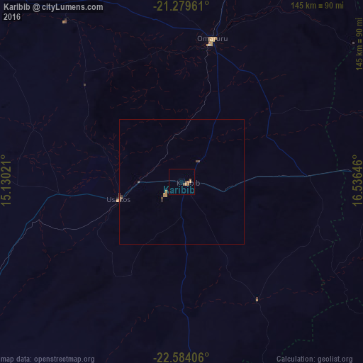
Map coordinates:
21° 16' 46.6" South, 15° 7' 48.8" East
21° 55' 60" South, 15° 49' 60" East
22° 35' 2.6" South, 16° 32' 11.3" East
Some cities around Karibib sort by population:
• Windhoek
146.3 km =90.9 mi,  118°
118°
• Walvis Bay
177.7 km =110.4 mi,  230°
230°
• Swakopmund
157.9 km =98.1 mi,  238°
238°
• Katutura
142.3 km =88.4 mi, 117°
• Okahandja
111.9 km =69.5 mi,  92°
92°
• Omaruru
56.5 km =35.1 mi,  10°
10°
• Usakos
25.2 km =15.7 mi,  252°
252°
• Otjimbingwe
55.7 km =34.6 mi,  146°
146°
3356332 (p: 6,898)
Sources (retrieved 2019-11-25):
» Earth at Night: Flat Maps 2012, 2016