Walvis Bay night lights from space
Night Light of Walvis Bay (Erongo) from space (Namibia) Src. Average luminocity for 10x10km area is 42.121% and for 50x50km: 2.3325%.
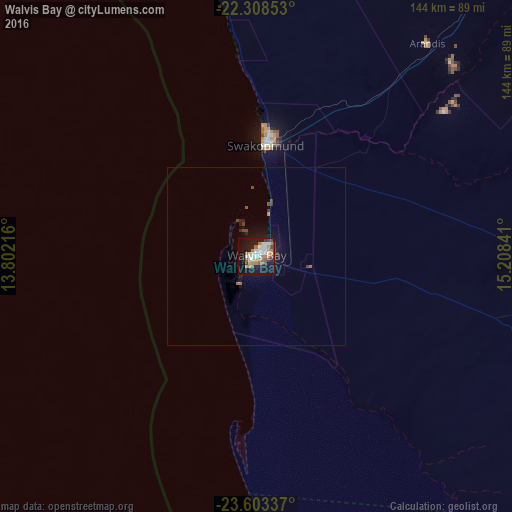
Analysis of Walvis Bay night lights 2016
Square area 10x10 km:
 9.13%
9.13%90-99
9.52%80-89
1.19%70-79
4.76%60-69
11.11%50-59
3.97%40-49
2.78%30-39
4.76%20-29
5.95%10-19
36.51%0-9
10.32%Square area 50x50 km:
0.36%90-99
0.37%80-89
0.05%70-79
0.19%60-69
0.52%50-59
0.25%40-49
0.27%30-39
0.42%20-29
0.38%10-19
2.4%0-9
94.79%Clear (daylight) street map image can be seen on geolist.org.
Map coordinates:
22° 18' 30.7" South, 13° 48' 7.8" East
22° 57' 27" South, 14° 30' 19" East
23° 36' 12.1" South, 15° 12' 30.3" East
Some cities around Walvis Bay sort by population:
• Windhoek
268 km =166.5 mi,  80°
80°
• Swakopmund
31.1 km =19.3 mi,  4°
4°
• Rehoboth
267.3 km =166.1 mi,  98°
98°
• Katutura
266.4 km =165.5 mi, 79°
• Omaruru
224.4 km =139.4 mi,  40°
40°
• Usakos
154.9 km =96.3 mi,  46°
46°
• Otjimbingwe
180.2 km =112 mi,  67°
67°
• Karibib
177.7 km =110.4 mi, 50°
3359638 (p: 52,058)
Sources (retrieved 2019-11-25):
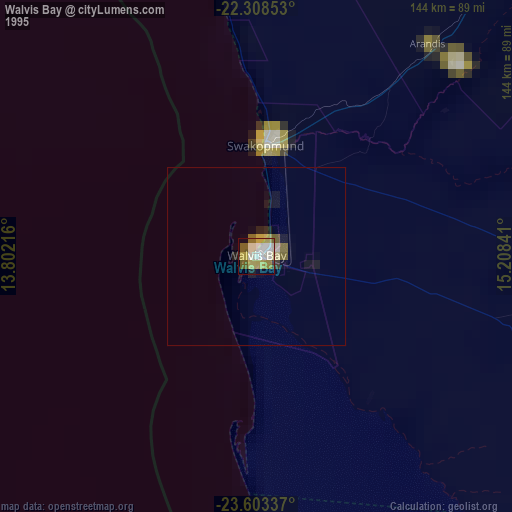
» NASA, Earths city lights 1995
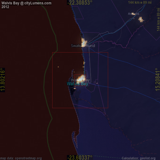
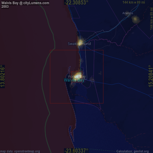
» NASA city lights 2003
» Earth at Night: Flat Maps 2012, 2016