Mariental night lights from space
Night Light of Mariental (Hardap) from space (Namibia) Src. Average luminocity for 10x10km area is 9.9365% and for 50x50km: 0.5036%.
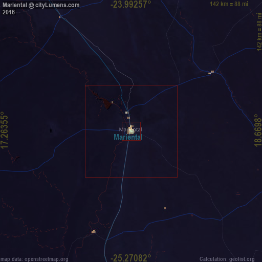
Analysis of Mariental night lights 2016
Square area 10x10 km:
 0%
0%90-99
0%80-89
2.38%70-79
3.17%60-69
1.59%50-59
1.39%40-49
2.58%30-39
1.59%20-29
0.6%10-19
0.2%0-9
86.51%Square area 50x50 km:
0%90-99
0.01%80-89
0.12%70-79
0.13%60-69
0.06%50-59
0.06%40-49
0.21%30-39
0.08%20-29
0.02%10-19
0.01%0-9
99.3%Clear (daylight) street map image can be seen on geolist.org.
Map coordinates:
23° 59' 33.3" South, 17° 15' 48.8" East
24° 37' 60" South, 17° 58' 0" East
25° 16' 15" South, 18° 40' 11.3" East
Some cities around Mariental sort by population:
• Windhoek
247.5 km =153.8 mi,  338°
338°
• Rehoboth
171.3 km =106.4 mi,  328°
328°
• Katutura
252.2 km =156.7 mi, 338°
• Okahandja
313.5 km =194.8 mi, 340°
• Gobabis
263.3 km =163.6 mi,  22°
22°
• Keetmanshoop
217.5 km =135.1 mi,  175°
175°
• Bethanie
221.4 km =137.6 mi,  201°
201°
• Otjimbingwe
315.3 km =195.9 mi,  323°
323°
3355595 (p: 13,380)
Sources (retrieved 2019-11-25):
» Earth at Night: Flat Maps 2012, 2016