Bethanie night lights from space
Night Light of Bethanie (Karas) from space (Namibia) Src. Average luminocity for 10x10km area is 1.8504% and for 50x50km: 0.0755%.
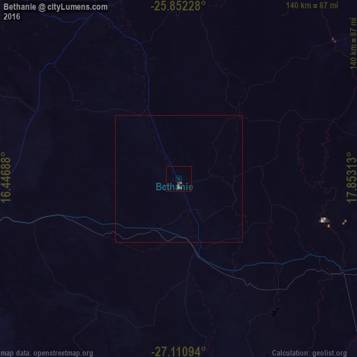
Analysis of Bethanie night lights 2016
Square area 10x10 km:
 0%
0%90-99
0%80-89
0%70-79
0%60-69
0%50-59
1.14%40-49
1.89%30-39
0.76%20-29
0%10-19
0%0-9
96.21%Square area 50x50 km:
0%90-99
0%80-89
0%70-79
0%60-69
0%50-59
0.05%40-49
0.08%30-39
0.03%20-29
0%10-19
0%0-9
99.85%Clear (daylight) street map image can be seen on geolist.org.
Map coordinates:
25° 51' 8.2" South, 16° 26' 48.8" East
26° 28' 60" South, 17° 9' 0" East
27° 6' 39.4" South, 17° 51' 11.3" East
Some cities around Bethanie sort by population:
• Rehoboth
352.1 km =218.8 mi,  359°
359°
• Keetmanshoop
98.4 km =61.1 mi,  96°
96°
• Lüderitz
199.4 km =123.9 mi,  264°
264°
• Mariental
221.4 km =137.6 mi,  21°
21°
• Springbok, ZA
361 km =224.3 mi,  168°
168°
• Oranjemund
240.4 km =149.4 mi,  197°
197°
• Warmbad
268.7 km =167 mi,  144°
144°
• Karasburg
232.5 km =144.5 mi, 137°
3358416 (p: 10,363)
Sources (retrieved 2019-11-25):
» Earth at Night: Flat Maps 2012, 2016