Ghanzi night lights from space
Night Light of Ghanzi from space (Botswana) Src. Average luminocity for 10x10km area is 6.8712% and for 50x50km: 0.2925%.
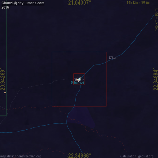
Analysis of Ghanzi night lights 2016
Square area 10x10 km:
 0.95%
0.95%90-99
2.08%80-89
0%70-79
0.76%60-69
0%50-59
0%40-49
2.27%30-39
1.7%20-29
1.7%10-19
1.14%0-9
89.39%Square area 50x50 km:
0.04%90-99
0.09%80-89
0%70-79
0.03%60-69
0%50-59
0%40-49
0.1%30-39
0.07%20-29
0.07%10-19
0.05%0-9
99.55%Clear (daylight) street map image can be seen on geolist.org.
Map coordinates:
21° 2' 35.1" South, 20° 56' 33.7" East
21° 41' 52.3" South, 21° 38' 44.9" East
22° 20' 58.8" South, 22° 20' 56.2" East
Some cities around Ghanzi sort by population:
• Maun
265 km =164.7 mi,  43°
43°
• Grootfontein, NA
437 km =271.5 mi,  302°
302°
• Letlhakane
409.3 km =254.3 mi,  85°
85°
• Gobabis, NA
288.4 km =179.2 mi,  253°
253°
• Orapa
388.3 km =241.3 mi,  83°
83°
• Letlhakeng
437.2 km =271.7 mi,  127°
127°
• Shakawe
371.1 km =230.6 mi,  3°
3°
• Rakops
291 km =180.8 mi, 75°
933759 (p: 9,934)
Sources (retrieved 2019-11-25):
» Earth at Night: Flat Maps 2012, 2016