Xai-Xai night lights from space
Night Light of Xai-Xai (Gaza) from space (Mozambique) Src. Average luminocity for 10x10km area is 25.9205% and for 50x50km: 1.8575%.
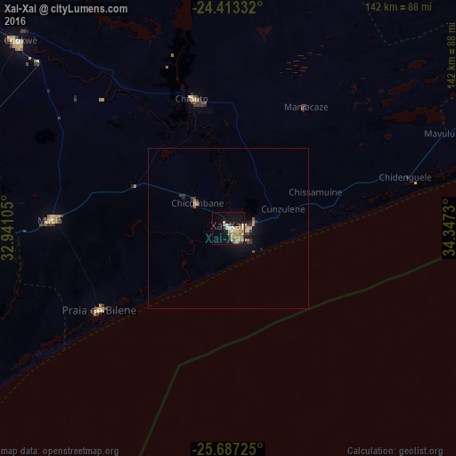
Analysis of Xai-Xai night lights 2016
Square area 10x10 km:
 1.7%
1.7%90-99
2.08%80-89
6.25%70-79
5.11%60-69
8.71%50-59
2.84%40-49
0.57%30-39
0.76%20-29
0.76%10-19
24.24%0-9
46.97%Square area 50x50 km:
0.07%90-99
0.09%80-89
0.41%70-79
0.29%60-69
0.49%50-59
0.2%40-49
0.1%30-39
0.31%20-29
0.23%10-19
1.77%0-9
96.04%Clear (daylight) street map image can be seen on geolist.org.
Map coordinates:
24° 24' 48" South, 32° 56' 27.8" East
25° 3' 7" South, 33° 38' 39" East
25° 41' 14.1" South, 34° 20' 50.3" East
Some cities around Xai-Xai sort by population:
• Maputo
147.2 km =91.5 mi,  226°
226°
• Matola
156.2 km =97.1 mi, 229°
• Ressano Garcia
171.4 km =106.5 mi,  255°
255°
• Chokwé
88.2 km =54.8 mi,  310°
310°
• Chibuto
42.2 km =26.2 mi,  344°
344°
• Macia
55 km =34.2 mi,  272°
272°
• Komatipoort, ZA
175.1 km =108.8 mi, 255°
• Mhlume, SZ
210.5 km =130.8 mi,  238°
238°
1024552 (p: 127,366)
Sources (retrieved 2019-11-25):
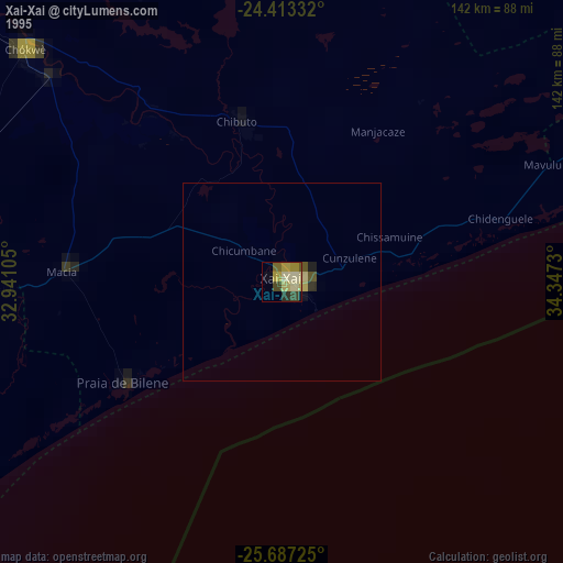
» NASA, Earths city lights 1995
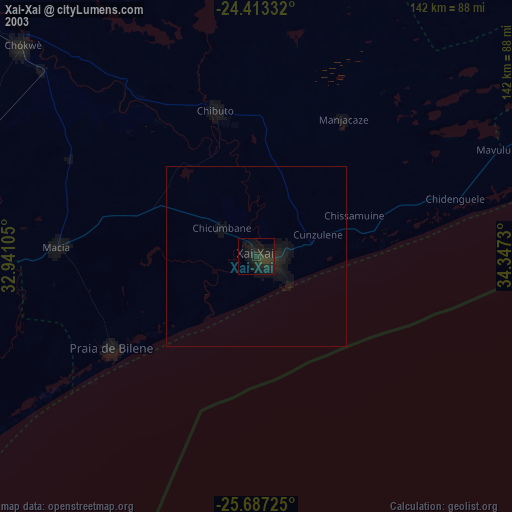
» NASA city lights 2003
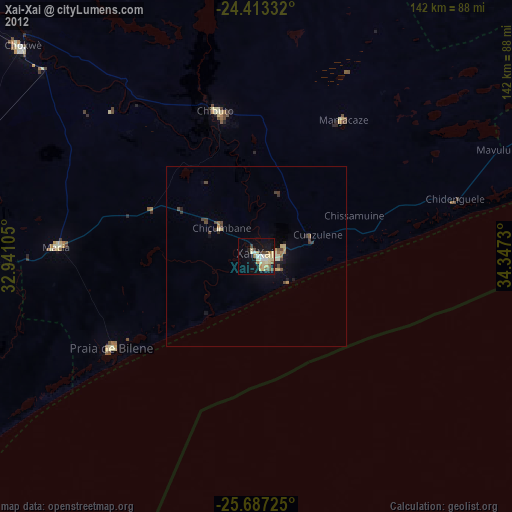
» Earth at Night: Flat Maps 2012, 2016