Macia night lights from space
Night Light of Macia (Gaza) from space (Mozambique) Src. Average luminocity for 10x10km area is 13.6364% and for 50x50km: 0.8755%.
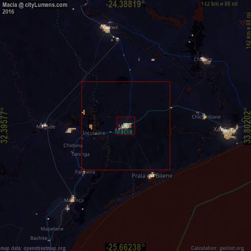
Analysis of Macia night lights 2016
Square area 10x10 km:
 0.19%
0.19%90-99
0.57%80-89
3.03%70-79
2.27%60-69
3.79%50-59
1.52%40-49
3.79%30-39
1.89%20-29
1.14%10-19
0.38%0-9
81.44%Square area 50x50 km:
0.01%90-99
0.02%80-89
0.12%70-79
0.29%60-69
0.23%50-59
0.06%40-49
0.15%30-39
0.14%20-29
0.1%10-19
0.04%0-9
98.83%Clear (daylight) street map image can be seen on geolist.org.
Map coordinates:
24° 23' 17.5" South, 32° 23' 44.8" East
25° 1' 37" South, 33° 5' 56" East
25° 39' 44.6" South, 33° 48' 7.3" East
Some cities around Macia sort by population:
• Maputo
116.5 km =72.4 mi,  206°
206°
• Matola
122.2 km =75.9 mi, 211°
• Xai-Xai
55 km =34.2 mi,  92°
92°
• Ressano Garcia
120.2 km =74.7 mi,  247°
247°
• Chokwé
56.1 km =34.9 mi,  348°
348°
• Chibuto
57.7 km =35.9 mi,  49°
49°
• Komatipoort, ZA
123.6 km =76.8 mi, 248°
• Mhlume, SZ
168 km =104.4 mi,  228°
228°
1024701 (p: 23,156)
Sources (retrieved 2019-11-25):
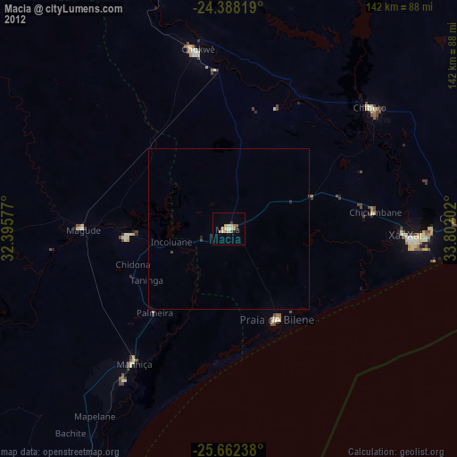
» Earth at Night: Flat Maps 2012, 2016