Chibuto night lights from space
Night Light of Chibuto (Gaza) from space (Mozambique) Src. Average luminocity for 10x10km area is 9.3532% and for 50x50km: 0.4281%.
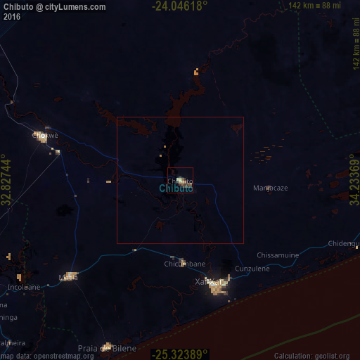
Analysis of Chibuto night lights 2016
Square area 10x10 km:
 0%
0%90-99
0.4%80-89
2.58%70-79
0.4%60-69
0.79%50-59
2.18%40-49
0.79%30-39
7.14%20-29
2.38%10-19
0%0-9
83.33%Square area 50x50 km:
0%90-99
0.02%80-89
0.1%70-79
0.02%60-69
0.09%50-59
0.09%40-49
0.03%30-39
0.28%20-29
0.09%10-19
0%0-9
99.28%Clear (daylight) street map image can be seen on geolist.org.
Map coordinates:
24° 2' 46.2" South, 32° 49' 38.8" East
24° 41' 12" South, 33° 31' 50" East
25° 19' 26" South, 34° 14' 1.3" East
Some cities around Chibuto sort by population:
• Maputo
171.1 km =106.3 mi,  213°
213°
• Matola
178.1 km =110.7 mi,  217°
217°
• Xai-Xai
42.2 km =26.2 mi,  164°
164°
• Maxixe
205.8 km =127.9 mi,  63°
63°
• Ressano Garcia
176 km =109.4 mi,  241°
241°
• Chokwé
57.9 km =36 mi,  287°
287°
• Macia
57.7 km =35.9 mi,  229°
229°
• Komatipoort, ZA
179.1 km =111.3 mi, 242°
1049861 (p: 59,165)
Sources (retrieved 2019-11-25):
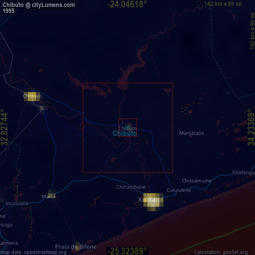
» NASA, Earths city lights 1995
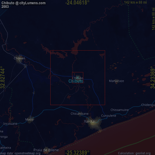
» NASA city lights 2003
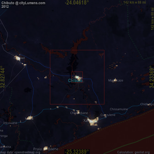
» Earth at Night: Flat Maps 2012, 2016