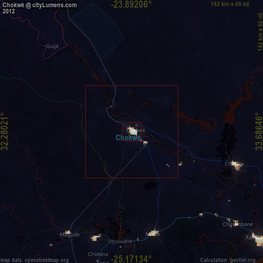
Chokwé night lights from space
Night Light of Chokwé (Gaza) from space (Mozambique) Src. Average luminocity for 10x10km area is 19.2183% and for 50x50km: 1.0299%.

Analysis of Chokwé night lights 2016
Square area 10x10 km:
 1.59%
1.59%90-99
1.59%80-89
4.17%70-79
4.56%60-69
3.37%50-59
0.79%40-49
2.38%30-39
1.59%20-29
0.79%10-19
8.13%0-9
71.03%Square area 50x50 km:
0.06%90-99
0.07%80-89
0.2%70-79
0.23%60-69
0.17%50-59
0.03%40-49
0.13%30-39
0.2%20-29
0.08%10-19
0.36%0-9
98.47%Clear (daylight) street map image can be seen on geolist.org.
Map coordinates:
23° 53' 31.4" South, 32° 16' 48.8" East
24° 31' 60" South, 32° 58' 60" East
25° 10' 16.8" South, 33° 41' 11.3" East
Some cities around Chokwé sort by population:
• Maputo
164.3 km =102.1 mi,  194°
194°
• Matola
167.4 km =104 mi,  198°
198°
• Xai-Xai
88.2 km =54.8 mi,  130°
130°
• Ressano Garcia
141.9 km =88.2 mi,  224°
224°
• Chibuto
57.9 km =36 mi,  107°
107°
• Macia
56.1 km =34.9 mi,  168°
168°
• Komatipoort, ZA
144.1 km =89.5 mi,  226°
226°
• Thulamahashi, ZA
181.6 km =112.8 mi,  263°
263°
1048364 (p: 63,695)
Sources (retrieved 2019-11-25):
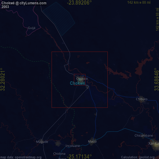
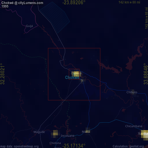
» NASA, Earths city lights 1995
» NASA city lights 2003
» Earth at Night: Flat Maps 2012, 2016