Nacala night lights from space
Night Light of Nacala (Nampula) from space (Mozambique) Src. Average luminocity for 10x10km area is 49.1732% and for 50x50km: 4.0913%.
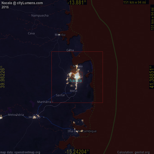
Analysis of Nacala night lights 2016
Square area 10x10 km:
 12.99%
90-99
12.55%80-89
2.6%70-79
4.55%60-69
2.16%50-59
5.41%40-49
8.44%30-39
4.11%20-29
22.51%10-19
23.81%0-9
0.87%Square area 50x50 km:
0.73%90-99
0.66%80-89
0.29%70-79
0.42%60-69
0.25%50-59
0.47%40-49
0.68%30-39
0.58%20-29
1.4%10-19
3.79%0-9
90.73%Clear (daylight) street map image can be seen on geolist.org.
Map coordinates:
13° 52' 51.6" South, 39° 58' 56.1" East
14° 33' 45.3" South, 40° 41' 7.4" East
15° 14' 31.3" South, 41° 23' 18.6" East
Some cities around Nacala sort by population:
• Nampula
164.5 km =102.2 mi,  248°
248°
• Pemba
177.6 km =110.4 mi,  354°
354°
• António Enes
203.5 km =126.4 mi,  204°
204°
• Montepuez
242.2 km =150.5 mi,  311°
311°
• Ilha de Moçambique
52.7 km =32.7 mi,  174°
174°
• Mutuáli
397.3 km =246.9 mi,  265°
265°
• Mocímboa
362.7 km =225.4 mi, 354°
• Fomboni, KM
416.4 km =258.7 mi,  52°
52°
1035025 (p: 224,795)
Sources (retrieved 2019-11-25):
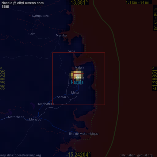
» NASA, Earths city lights 1995
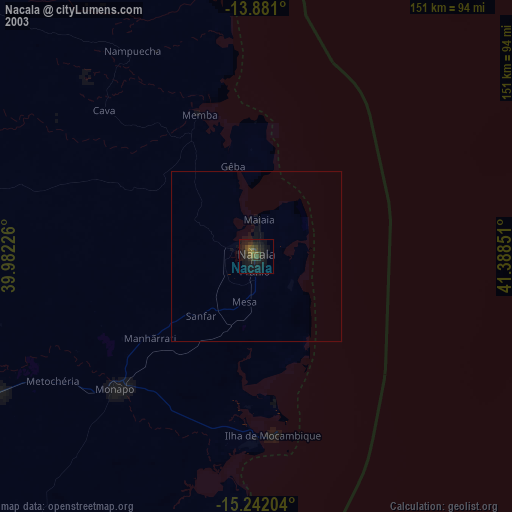
» NASA city lights 2003
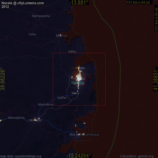
» Earth at Night: Flat Maps 2012, 2016