Nampula night lights from space
Night Light of Nampula from space (Mozambique) Src. Average luminocity for 10x10km area is 61.1942% and for 50x50km: 4.0767%.
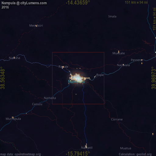
Analysis of Nampula night lights 2016
Square area 10x10 km:
 19.01%
90-99
15.29%80-89
6.2%70-79
5.99%60-69
5.79%50-59
4.96%40-49
6.61%30-39
5.37%20-29
20.87%10-19
9.92%0-9
0%Square area 50x50 km:
0.81%90-99
0.73%80-89
0.34%70-79
0.46%60-69
0.37%50-59
0.26%40-49
0.7%30-39
0.55%20-29
1.12%10-19
3.29%0-9
91.37%Clear (daylight) street map image can be seen on geolist.org.
Map coordinates:
14° 26' 11.7" South, 38° 33' 48.5" East
15° 6' 59.3" South, 39° 15' 59.8" East
15° 47' 38.9" South, 39° 58' 11" East
Some cities around Nampula sort by population:
• Nacala
164.5 km =102.2 mi,  68°
68°
• Mandimba
398 km =247.3 mi,  282°
282°
• Pemba
273.8 km =170.1 mi,  29°
29°
• António Enes
141.9 km =88.2 mi,  151°
151°
• Cuamba
295.3 km =183.5 mi, 276°
• Montepuez
223.2 km =138.7 mi,  352°
352°
• Ilha de Moçambique
158 km =98.2 mi,  86°
86°
• Mutuáli
244.5 km =151.9 mi, 276°
1033356 (p: 388,526)
Sources (retrieved 2019-11-25):
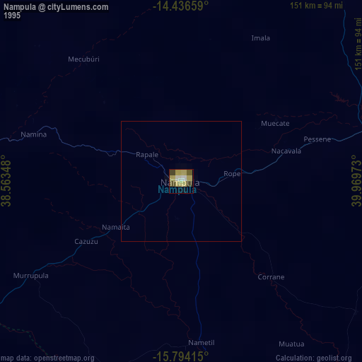
» NASA, Earths city lights 1995
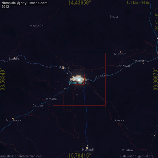
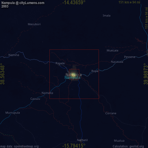
» NASA city lights 2003
» Earth at Night: Flat Maps 2012, 2016