Ilha de Moçambique night lights from space
Night Light of Ilha de Moçambique (Nampula) from space (Mozambique) Src. Average luminocity for 10x10km area is 3.1612% and for 50x50km: 0.3692%.
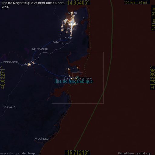
Analysis of Ilha de Moçambique night lights 2016
Square area 10x10 km:
 0%
0%90-99
0%80-89
1.24%70-79
0%60-69
1.65%50-59
0%40-49
0.41%30-39
0.62%20-29
0.21%10-19
0%0-9
95.87%Square area 50x50 km:
0%90-99
0%80-89
0.07%70-79
0.04%60-69
0.12%50-59
0.13%40-49
0.02%30-39
0.12%20-29
0.08%10-19
0.04%0-9
99.37%Clear (daylight) street map image can be seen on geolist.org.
Map coordinates:
14° 21' 14.6" South, 40° 1' 57.8" East
15° 2' 3" South, 40° 44' 9" East
15° 42' 43.7" South, 41° 26' 20.3" East
Some cities around Ilha de Moçambique sort by population:
• Nampula
158 km =98.2 mi,  266°
266°
• Nacala
52.7 km =32.7 mi,  354°
354°
• Pemba
230.3 km =143.1 mi, 354°
• António Enes
160 km =99.4 mi,  213°
213°
• Montepuez
283 km =175.8 mi,  318°
318°
• Mutuáli
401.3 km =249.4 mi, 272°
• Mocímboa
415.5 km =258.2 mi, 354°
• Fomboni, KM
445.9 km =277.1 mi,  46°
46°
1037390 (p: 54,315)
Sources (retrieved 2019-11-25):
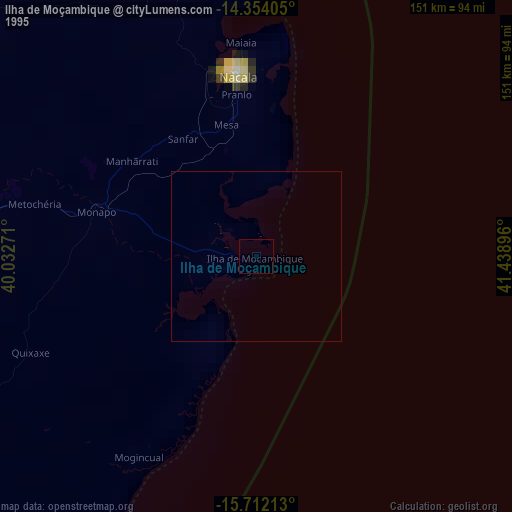
» NASA, Earths city lights 1995
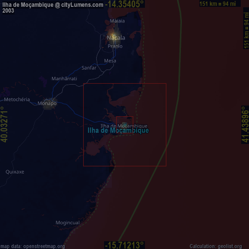
» NASA city lights 2003
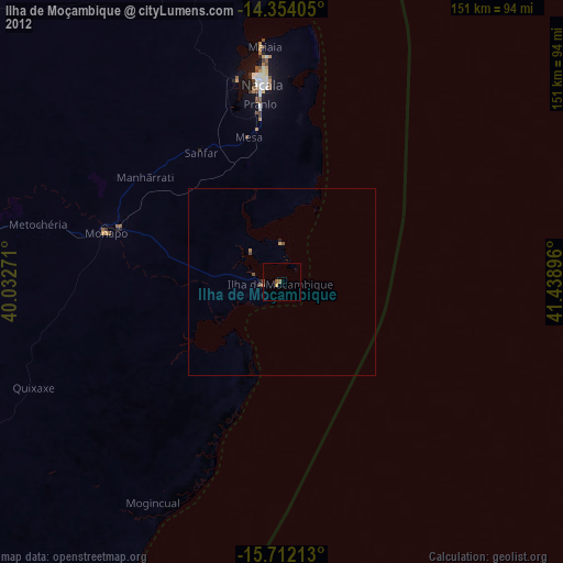
» Earth at Night: Flat Maps 2012, 2016