Montepuez night lights from space
Night Light of Montepuez (Cabo Delgado) from space (Mozambique) Src. Average luminocity for 10x10km area is 20.21% and for 50x50km: 0.8651%.
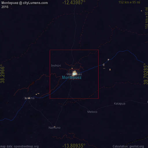
Analysis of Montepuez night lights 2016
Square area 10x10 km:
 1.52%
1.52%90-99
3.9%80-89
5.19%70-79
1.52%60-69
2.16%50-59
2.81%40-49
1.95%30-39
3.46%20-29
0.22%10-19
5.63%0-9
71.65%Square area 50x50 km:
0.06%90-99
0.15%80-89
0.2%70-79
0.06%60-69
0.12%50-59
0.11%40-49
0.08%30-39
0.13%20-29
0.01%10-19
0.22%0-9
98.87%Clear (daylight) street map image can be seen on geolist.org.
Map coordinates:
12° 26' 23.5" South, 38° 17' 47.8" East
13° 7' 32" South, 38° 59' 59" East
13° 48' 33.7" South, 39° 42' 10.3" East
Some cities around Montepuez sort by population:
• Nampula
223.2 km =138.7 mi,  172°
172°
• Nacala
242.2 km =150.5 mi,  131°
131°
• Pemba
165.3 km =102.7 mi,  84°
84°
• Newala Kisimani, TZ
243.9 km =151.6 mi,  7°
7°
• Mocímboa
249 km =154.7 mi,  36°
36°
• Chiungutwa, TZ
249.3 km =154.9 mi,  359°
359°
• Namalenga, TZ
242.1 km =150.4 mi,  2°
2°
• Masuguru, TZ
205.6 km =127.8 mi,  342°
342°
1037125 (p: 72,279)
Sources (retrieved 2019-11-25):
» NASA, Earths city lights 1995
» NASA city lights 2003
» Earth at Night: Flat Maps 2012, 2016