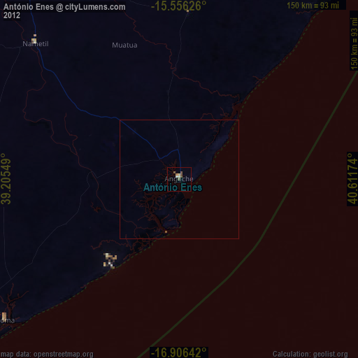
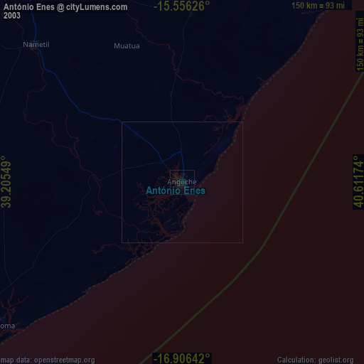
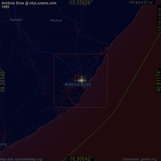
António Enes night lights from space
Night Light of António Enes (Nampula) from space (Mozambique) Src. Average luminocity for 10x10km area is 5.7955% and for 50x50km: 0.2598%.
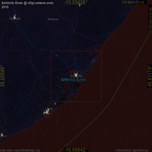
Analysis of António Enes night lights 2016
Square area 10x10 km:
 0%
0%90-99
1.24%80-89
0.41%70-79
1.65%60-69
0.21%50-59
2.07%40-49
1.03%30-39
0.83%20-29
0.83%10-19
0%0-9
91.74%Square area 50x50 km:
0%90-99
0.05%80-89
0.02%70-79
0.07%60-69
0.01%50-59
0.08%40-49
0.04%30-39
0.07%20-29
0.07%10-19
0%0-9
99.6%Clear (daylight) street map image can be seen on geolist.org.
Map coordinates:
15° 33' 22.5" South, 39° 12' 19.8" East
16° 13' 57" South, 39° 54' 31" East
16° 54' 23.1" South, 40° 36' 42.3" East
Some cities around António Enes sort by population:
• Nampula
141.9 km =88.2 mi,  331°
331°
• Nacala
203.5 km =126.4 mi,  24°
24°
• Quelimane
369.5 km =229.6 mi,  240°
240°
• Pemba
368.2 km =228.8 mi,  10°
10°
• Cuamba
394.6 km =245.2 mi,  293°
293°
• Montepuez
359 km =223.1 mi,  344°
344°
• Ilha de Moçambique
160 km =99.4 mi,  33°
33°
• Mutuáli
346 km =215 mi,  295°
295°
1052944 (p: 74,624)
Sources (retrieved 2019-11-25):
» NASA, Earths city lights 1995
» NASA city lights 2003
» Earth at Night: Flat Maps 2012, 2016