Fomboni night lights from space
Night Light of Fomboni (Mohéli) from space (Comoros) Src. Average luminocity for 10x10km area is 0% and for 50x50km: 0%.
Analysis of Fomboni night lights 2016
Square area 10x10 km:
100  0%
0%
90-99 0%
80-89 0%
70-79 0%
60-69 0%
50-59 0%
40-49 0%
30-39 0%
20-29 0%
10-19 0%
0-9 100%
0%90-99
0%80-89
0%70-79
0%60-69
0%50-59
0%40-49
0%30-39
0%20-29
0%10-19
0%0-9
100%Square area 50x50 km:
100 0%
90-99 0%
80-89 0%
70-79 0%
60-69 0%
50-59 0%
40-49 0%
30-39 0%
20-29 0%
10-19 0%
0-9 100%
0%90-99
0%80-89
0%70-79
0%60-69
0%50-59
0%40-49
0%30-39
0%20-29
0%10-19
0%0-9
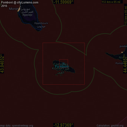
100%Clear (daylight) street map image can be seen on geolist.org.
Map coordinates:
11° 35' 58.9" South, 43° 2' 25.2" East
12° 17' 15.3" South, 43° 44' 36.4" East
12° 58' 25.3" South, 44° 26' 47.7" East
Some cities around Fomboni sort by population:
• Moutsamoudou
72.5 km =45 mi,  79°
79°
• Tsimbeo
78.9 km =49 mi, 83°
• Sima
58.8 km =36.5 mi, 79°
• Ouani
76 km =47.2 mi, 77°
• Mirontsi
73.7 km =45.8 mi, 78°
• Moya
75.4 km =46.9 mi,  91°
91°
• Barakani
76.5 km =47.5 mi, 77°
• Chandra
79 km =49.1 mi, 82°
921889 (p: 14,966)
Sources (retrieved 2019-11-25):
» Earth at Night: Flat Maps 2012, 2016