Pemba night lights from space
Night Light of Pemba (Cabo Delgado) from space (Mozambique) Src. Average luminocity for 10x10km area is 39.6818% and for 50x50km: 2.4689%.
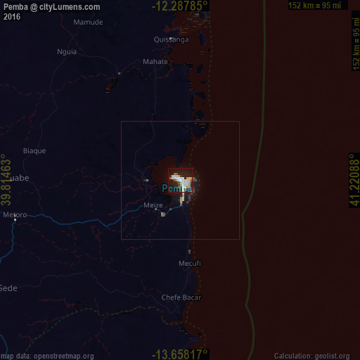
Analysis of Pemba night lights 2016
Square area 10x10 km:
 10.82%
90-99
8.23%80-89
4.76%70-79
4.76%60-69
0.65%50-59
3.25%40-49
3.25%30-39
3.9%20-29
6.49%10-19
40.48%0-9
13.42%Square area 50x50 km:
0.42%90-99
0.32%80-89
0.28%70-79
0.3%60-69
0.09%50-59
0.25%40-49
0.3%30-39
0.49%20-29
0.42%10-19
2.55%0-9
94.57%Clear (daylight) street map image can be seen on geolist.org.
Map coordinates:
12° 17' 16.3" South, 39° 48' 52.7" East
12° 58' 26.2" South, 40° 31' 3.9" East
13° 39' 29.4" South, 41° 13' 15.2" East
Some cities around Pemba sort by population:
• Nacala
177.6 km =110.4 mi,  174°
174°
• Montepuez
165.3 km =102.7 mi,  264°
264°
• Ilha de Moçambique
230.3 km =143.1 mi, 174°
• Newala Kisimani, TZ
262.1 km =162.9 mi,  329°
329°
• Mocímboa
185.2 km =115.1 mi,  354°
354°
• Mahuta, TZ
261.5 km =162.5 mi, 333°
• Nanhyanga, TZ
263.7 km =163.9 mi,  336°
336°
• Namikupa, TZ
258.1 km =160.4 mi, 337°
1028918 (p: 108,737)
Sources (retrieved 2019-11-25):
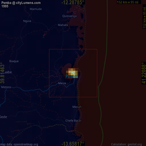
» NASA, Earths city lights 1995
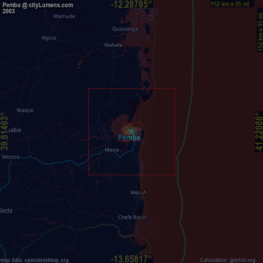
» NASA city lights 2003
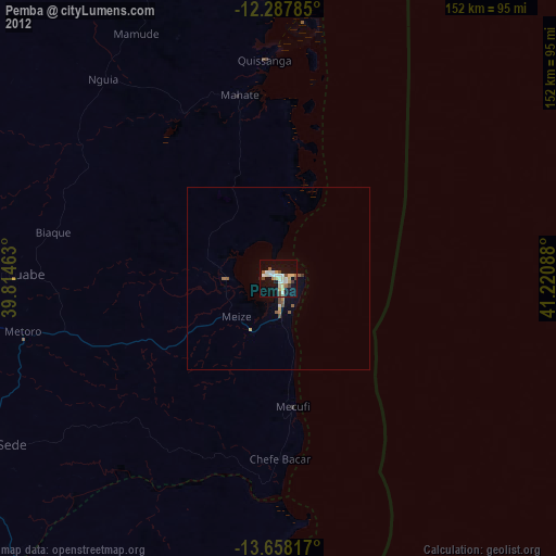
» Earth at Night: Flat Maps 2012, 2016