Mocímboa night lights from space
Night Light of Mocímboa (Cabo Delgado) from space (Mozambique) Src. Average luminocity for 10x10km area is 7.0563% and for 50x50km: 0.4389%.
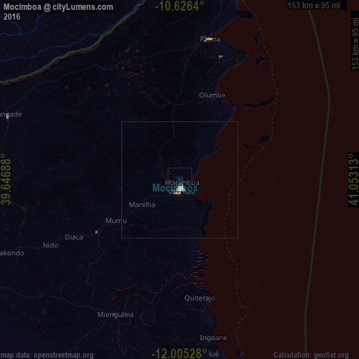
Analysis of Mocímboa night lights 2016
Square area 10x10 km:
 1.08%
1.08%90-99
1.95%80-89
0%70-79
0.65%60-69
0.43%50-59
1.52%40-49
1.3%30-39
1.08%20-29
1.3%10-19
0.22%0-9
90.48%Square area 50x50 km:
0.04%90-99
0.09%80-89
0%70-79
0.05%60-69
0.08%50-59
0.08%40-49
0.1%30-39
0.06%20-29
0.07%10-19
0.01%0-9
99.42%Clear (daylight) street map image can be seen on geolist.org.
Map coordinates:
10° 37' 35" South, 39° 38' 48.8" East
11° 19' 0" South, 40° 21' 0" East
12° 0' 19" South, 41° 3' 11.3" East
Some cities around Mocímboa sort by population:
• Mtwara, TZ
118.2 km =73.4 mi,  351°
351°
• Nanyamba, TZ
90.2 km =56 mi,  321°
321°
• Tandahimba, TZ
100.4 km =62.4 mi,  308°
308°
• Kitama, TZ
94.8 km =58.9 mi, 314°
• Mahuta, TZ
110.2 km =68.5 mi,  296°
296°
• Nanhyanga, TZ
104.5 km =64.9 mi, 303°
• Madimba, TZ
101.9 km =63.3 mi,  358°
358°
• Namikupa, TZ
97.9 km =60.8 mi, 303°
1037370 (p: 27,909)
Sources (retrieved 2019-11-25):
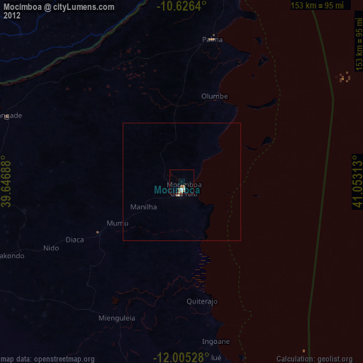
» Earth at Night: Flat Maps 2012, 2016