Mersing night lights from space
Night Light of Mersing (Johor) from space (Malaysia) Src. Average luminocity for 10x10km area is 22.6991% and for 50x50km: 1.8245%.
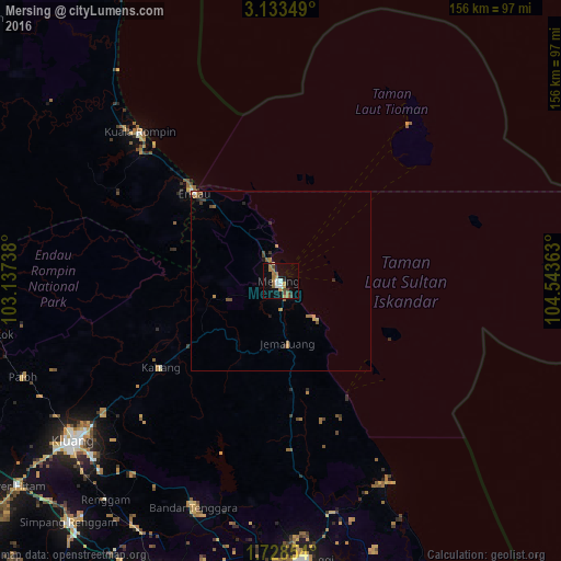
Analysis of Mersing night lights 2016
Square area 10x10 km:
 2.6%
2.6%90-99
2.6%80-89
1.3%70-79
3.25%60-69
7.58%50-59
2.6%40-49
4.33%30-39
0.87%20-29
0.87%10-19
14.72%0-9
59.31%Square area 50x50 km:
0.12%90-99
0.12%80-89
0.13%70-79
0.34%60-69
0.49%50-59
0.31%40-49
0.4%30-39
0.16%20-29
0.22%10-19
0.68%0-9
97.01%Clear (daylight) street map image can be seen on geolist.org.
Map coordinates:
3° 8' 0.6" North, 103° 8' 14.6" East
2° 25' 52.3" North, 103° 50' 25.8" East
1° 43' 42.7" North, 104° 32' 37.1" East
Some cities around Mersing sort by population:
• Kluang
73.3 km =45.5 mi,  232°
232°
• Ulu Tiram
92.5 km =57.5 mi,  181°
181°
• Kulai
90.1 km =56 mi,  197°
197°
• Kota Tinggi
77.3 km =48 mi, 175°
• Labis
91.2 km =56.7 mi,  266°
266°
• Kampung Simpang Renggam
90 km =55.9 mi,  221°
221°
• Kelapa Sawit
91.3 km =56.7 mi, 201°
• Chaah
90.3 km =56.1 mi,  257°
257°
1732826 (p: 22,007)
Sources (retrieved 2019-11-25):
» Earth at Night: Flat Maps 2012, 2016