Kulai night lights from space
Night Light of Kulai (Johor) from space (Malaysia) Src. Average luminocity for 10x10km area is 62.8766% and for 50x50km: 33.3895%.
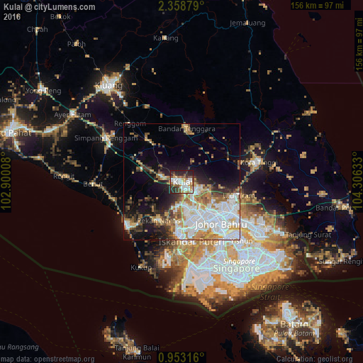
Analysis of Kulai night lights 2016
Square area 10x10 km:
 16.88%
90-99
16.02%80-89
4.55%70-79
6.93%60-69
8.87%50-59
8.01%40-49
7.14%30-39
6.71%20-29
19.05%10-19
5.84%0-9
0%Square area 50x50 km:
9.98%90-99
7.07%80-89
2.21%70-79
5.02%60-69
4.24%50-59
3.37%40-49
3.12%30-39
2.9%20-29
5.66%10-19
9.9%0-9
46.53%Clear (daylight) street map image can be seen on geolist.org.
Map coordinates:
2° 21' 31.6" North, 102° 54' 0.3" East
1° 39' 22" North, 103° 36' 11.5" East
0° 57' 11.4" North, 104° 18' 22.8" East
Some cities around Kulai sort by population:
• Johor Bahru
27.3 km =17 mi,  140°
140°
• Woodlands, SG
31.8 km =19.8 mi, 139°
• Skudai
14.5 km =9 mi,  155°
155°
• Ulu Tiram
24.5 km =15.2 mi,  104°
104°
• Taman Senai
7.5 km =4.7 mi,  145°
145°
• Pontian Kechil
30.3 km =18.8 mi,  231°
231°
• Pekan Nenas
19 km =11.8 mi,  211°
211°
• Kelapa Sawit
8 km =5 mi,  281°
281°
1732742 (p: 63,762)
Sources (retrieved 2019-11-25):
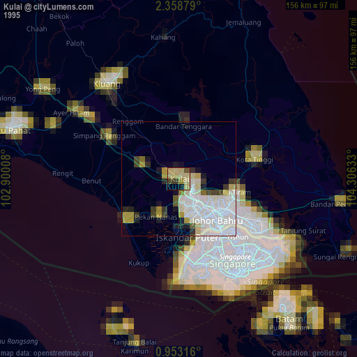
» NASA, Earths city lights 1995
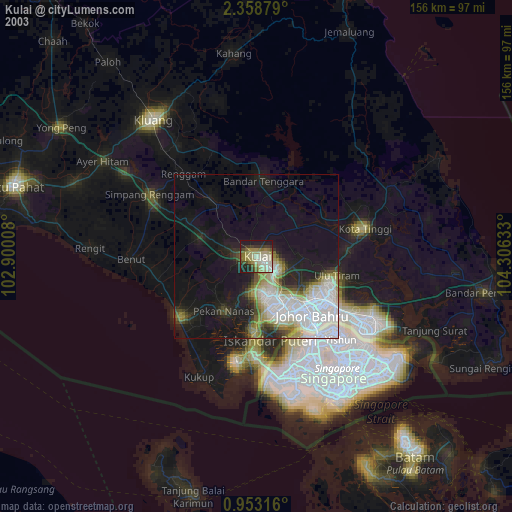
» NASA city lights 2003
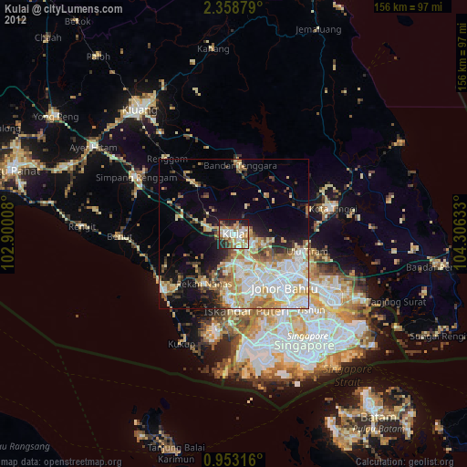
» Earth at Night: Flat Maps 2012, 2016