Kota Tinggi night lights from space
Night Light of Kota Tinggi (Johor) from space (Malaysia) Src. Average luminocity for 10x10km area is 42.5195% and for 50x50km: 16.9536%.
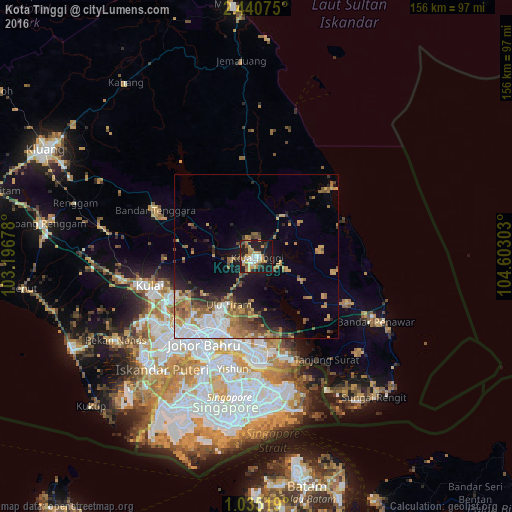
Analysis of Kota Tinggi night lights 2016
Square area 10x10 km:
 6.71%
6.71%90-99
4.55%80-89
8.44%70-79
7.36%60-69
8.01%50-59
3.68%40-49
2.81%30-39
3.46%20-29
14.07%10-19
37.88%0-9
3.03%Square area 50x50 km:
3.43%90-99
1.82%80-89
1.15%70-79
3.31%60-69
3.63%50-59
2.51%40-49
2.19%30-39
1.95%20-29
2.86%10-19
7.66%0-9
69.5%Clear (daylight) street map image can be seen on geolist.org.
Map coordinates:
2° 26' 26.7" North, 103° 11' 48.4" East
1° 44' 17.2" North, 103° 53' 59.6" East
1° 2' 6.7" North, 104° 36' 10.9" East
Some cities around Kota Tinggi sort by population:
• Johor Bahru
34.2 km =21.3 mi,  207°
207°
• Woodlands, SG
35.6 km =22.1 mi,  200°
200°
• Skudai
35 km =21.7 mi,  230°
230°
• Kampung Pasir Gudang Baru
29.6 km =18.4 mi,  184°
184°
• Ulu Tiram
17.9 km =11.1 mi, 211°
• Taman Senai
32.5 km =20.2 mi,  241°
241°
• Kulai
34.2 km =21.3 mi,  254°
254°
• Kelapa Sawit
41.5 km =25.8 mi,  259°
259°
1732738 (p: 52,743)
Sources (retrieved 2019-11-25):
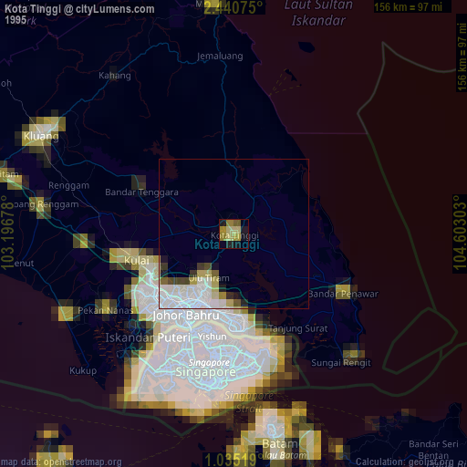
» NASA, Earths city lights 1995
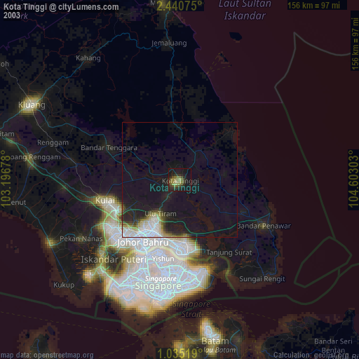
» NASA city lights 2003
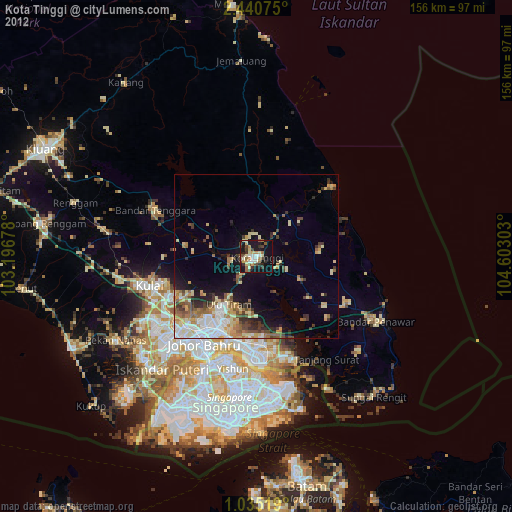
» Earth at Night: Flat Maps 2012, 2016