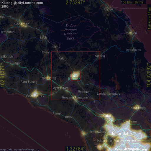
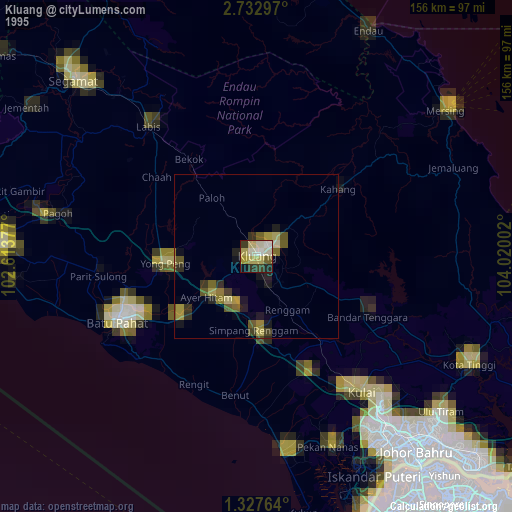
Kluang night lights from space
Night Light of Kluang (Johor) from space (Malaysia) Src. Average luminocity for 10x10km area is 67.6342% and for 50x50km: 10.857%.
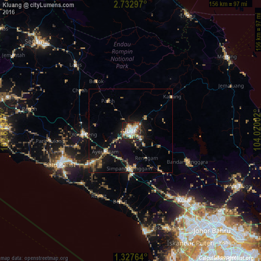

Analysis of Kluang night lights 2016
Square area 10x10 km:
 15.8%
15.8%90-99
19.48%80-89
9.74%70-79
12.77%60-69
7.14%50-59
4.76%40-49
1.95%30-39
6.28%20-29
17.1%10-19
4.76%0-9
0.22%Square area 50x50 km:
0.96%90-99
1.25%80-89
0.78%70-79
2.4%60-69
1.58%50-59
1.42%40-49
1.71%30-39
1.16%20-29
2.91%10-19
9.78%0-9
76.06%Clear (daylight) street map image can be seen on geolist.org.
Map coordinates:
2° 43' 58.7" North, 102° 36' 49.6" East
2° 1' 49.7" North, 103° 19' 0.8" East
1° 19' 39.5" North, 104° 1' 12.1" East
Some cities around Kluang sort by population:
• Batu Pahat
47 km =29.2 mi,  245°
245°
• Kulai
52.4 km =32.6 mi,  142°
142°
• Yong Peng
28 km =17.4 mi,  266°
266°
• Labis
51.3 km =31.9 mi,  320°
320°
• Kampung Simpang Renggam
22.6 km =14 mi,  184°
184°
• Parit Raja
29 km =18 mi,  231°
231°
• Kelapa Sawit
46.7 km =29 mi,  149°
149°
• Chaah
38.5 km =23.9 mi,  309°
309°
1732811 (p: 169,828)
Sources (retrieved 2019-11-25):
» NASA, Earths city lights 1995
» NASA city lights 2003
» Earth at Night: Flat Maps 2012, 2016