Kelapa Sawit night lights from space
Night Light of Kelapa Sawit (Johor) from space (Malaysia) Src. Average luminocity for 10x10km area is 35.3939% and for 50x50km: 27.5511%.
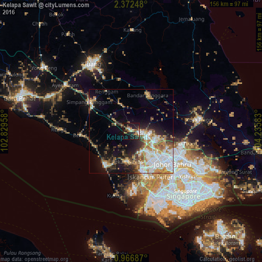
Analysis of Kelapa Sawit night lights 2016
Square area 10x10 km:
 3.9%
3.9%90-99
4.76%80-89
1.73%70-79
7.79%60-69
4.55%50-59
7.36%40-49
3.68%30-39
2.38%20-29
18.83%10-19
35.06%0-9
9.96%Square area 50x50 km:
6.77%90-99
5.24%80-89
1.77%70-79
4.72%60-69
3.89%50-59
3.15%40-49
3.01%30-39
2.75%20-29
5.33%10-19
10.6%0-9
52.78%Clear (daylight) street map image can be seen on geolist.org.
Map coordinates:
2° 22' 20.9" North, 102° 49' 46.5" East
1° 40' 11.3" North, 103° 31' 57.7" East
0° 58' 0.7" North, 104° 14' 9" East
Some cities around Kelapa Sawit sort by population:
• Johor Bahru
33.8 km =21 mi,  132°
132°
• Skudai
20.2 km =12.6 mi,  136°
136°
• Ulu Tiram
32.5 km =20.2 mi,  103°
103°
• Taman Senai
14.4 km =8.9 mi,  122°
122°
• Kulai
8 km =5 mi, 101°
• Pontian Kechil
25.8 km =16 mi,  217°
217°
• Pekan Nenas
17.9 km =11.1 mi,  186°
186°
• Kampung Simpang Renggam
31.3 km =19.4 mi,  304°
304°
1761293 (p: 13,239)
Sources (retrieved 2019-11-25):
» Earth at Night: Flat Maps 2012, 2016