Batu Pahat night lights from space
Night Light of Batu Pahat (Johor) from space (Malaysia) Src. Average luminocity for 10x10km area is 64.4567% and for 50x50km: 14.7464%.
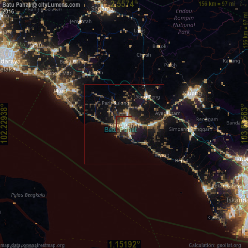
Analysis of Batu Pahat night lights 2016
Square area 10x10 km:
 13.2%
13.2%90-99
16.23%80-89
4.33%70-79
9.09%60-69
10.82%50-59
9.96%40-49
14.5%30-39
9.96%20-29
11.04%10-19
0.87%0-9
0%Square area 50x50 km:
1.05%90-99
1.4%80-89
0.73%70-79
1.85%60-69
2.03%50-59
2.97%40-49
4.2%30-39
2.92%20-29
5.05%10-19
12.87%0-9
64.93%Clear (daylight) street map image can be seen on geolist.org.
Map coordinates:
2° 33' 26.6" North, 102° 13' 45.8" East
1° 51' 17.3" North, 102° 55' 57" East
1° 9' 6.9" North, 103° 38' 8.3" East
Some cities around Batu Pahat sort by population:
• Kluang
47 km =29.2 mi,  65°
65°
• Muar
45.6 km =28.3 mi,  297°
297°
• Bakri
37.5 km =23.3 mi, 304°
• Yong Peng
23.1 km =14.4 mi,  40°
40°
• Labis
59.8 km =37.2 mi,  9°
9°
• Kampung Simpang Renggam
41 km =25.5 mi,  94°
94°
• Parit Raja
20 km =12.4 mi, 85°
• Chaah
45.7 km =28.4 mi,  16°
16°
1732687 (p: 156,236)
Sources (retrieved 2019-11-25):
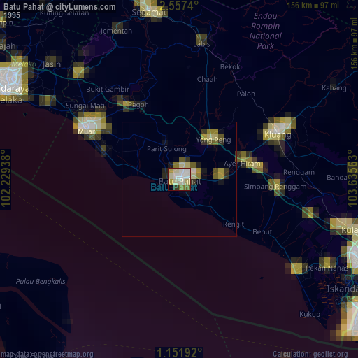
» NASA, Earths city lights 1995
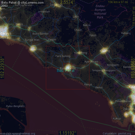
» NASA city lights 2003
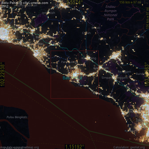
» Earth at Night: Flat Maps 2012, 2016