Jerantut night lights from space
Night Light of Jerantut (Pahang) from space (Malaysia) Src. Average luminocity for 10x10km area is 18.2489% and for 50x50km: 1.9597%.

Analysis of Jerantut night lights 2016
Square area 10x10 km:
 3.68%
3.68%90-99
1.52%80-89
1.95%70-79
1.52%60-69
3.9%50-59
1.95%40-49
2.81%30-39
2.6%20-29
1.08%10-19
3.9%0-9
75.11%Square area 50x50 km:
0.14%90-99
0.16%80-89
0.19%70-79
0.14%60-69
0.37%50-59
0.39%40-49
0.57%30-39
0.43%20-29
0.25%10-19
0.2%0-9
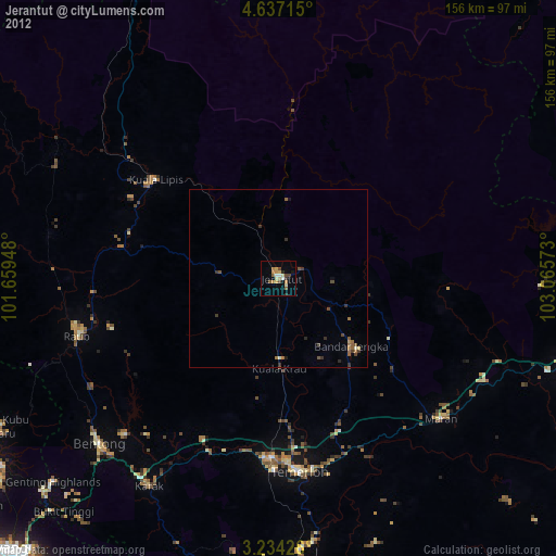
97.15%Clear (daylight) street map image can be seen on geolist.org.
Map coordinates:
4° 38' 13.7" North, 101° 39' 34.1" East
3° 56' 9.6" North, 102° 21' 45.4" East
3° 14' 3.3" North, 103° 3' 56.6" East
Some cities around Jerantut sort by population:
• Kuantan
107.8 km =67 mi,  97°
97°
• Temerluh
54.3 km =33.7 mi,  173°
173°
• Bentong Town
68.2 km =42.4 mi,  227°
227°
• Mentekab
50.1 km =31.1 mi,  181°
181°
• Raub
58.4 km =36.3 mi,  253°
253°
• Serendah
105.5 km =65.6 mi, 232°
• Kuala Lipis
44.6 km =27.7 mi,  308°
308°
• Kampung Bukit Tinggi, Bentong
88.3 km =54.9 mi,  222°
222°
1732602 (p: 33,606)
Sources (retrieved 2019-11-25):
» Earth at Night: Flat Maps 2012, 2016