Temerluh night lights from space
Night Light of Temerluh (Pahang) from space (Malaysia) Src. Average luminocity for 10x10km area is 37.0974% and for 50x50km: 5.2837%.
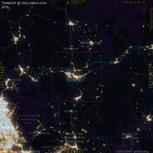
Analysis of Temerluh night lights 2016
Square area 10x10 km:
 2.6%
2.6%90-99
3.46%80-89
6.28%70-79
4.76%60-69
4.33%50-59
8.01%40-49
8.66%30-39
5.41%20-29
17.53%10-19
33.98%0-9
4.98%Square area 50x50 km:
0.35%90-99
0.43%80-89
0.4%70-79
0.78%60-69
0.85%50-59
1.06%40-49
1.21%30-39
0.87%20-29
1.31%10-19
3.94%0-9
88.8%Clear (daylight) street map image can be seen on geolist.org.
Map coordinates:
4° 9' 7.8" North, 101° 42' 52.1" East
3° 27' 2.2" North, 102° 25' 3.4" East
2° 44' 54.6" North, 103° 7' 14.6" East
Some cities around Temerluh sort by population:
• Ampang
79.6 km =49.5 mi,  245°
245°
• Bentong Town
57 km =35.4 mi,  278°
278°
• Mentekab
8.6 km =5.3 mi,  296°
296°
• Raub
72.8 km =45.2 mi, 301°
• Jerantut
54.3 km =33.7 mi,  353°
353°
• Bahau
71.5 km =44.4 mi,  181°
181°
• Kuala Pilah
81.3 km =50.5 mi,  193°
193°
• Kampung Bukit Tinggi, Bentong
66.6 km =41.4 mi,  260°
260°
1735022 (p: 59,916)
Sources (retrieved 2019-11-25):
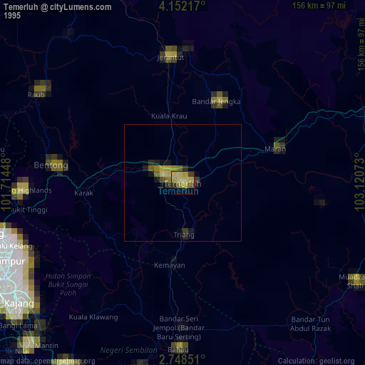
» NASA, Earths city lights 1995
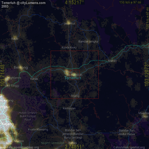
» NASA city lights 2003
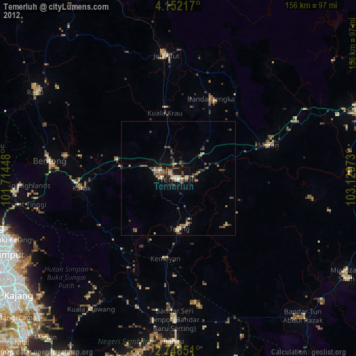
» Earth at Night: Flat Maps 2012, 2016