Bentong Town night lights from space
Night Light of Bentong Town (Pahang) from space (Malaysia) Src. Average luminocity for 10x10km area is 25.7056% and for 50x50km: 3.9583%.
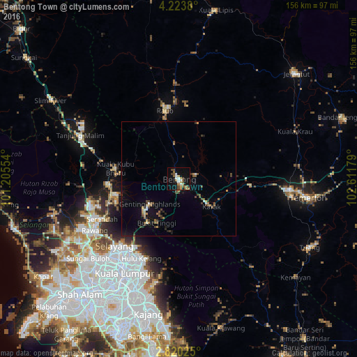
Analysis of Bentong Town night lights 2016
Square area 10x10 km:
 3.03%
3.03%90-99
3.9%80-89
0.65%70-79
6.06%60-69
4.33%50-59
3.46%40-49
6.06%30-39
1.08%20-29
0.87%10-19
26.19%0-9
44.37%Square area 50x50 km:
0.26%90-99
0.32%80-89
0.21%70-79
0.55%60-69
0.71%50-59
0.58%40-49
0.96%30-39
0.53%20-29
0.47%10-19
2.98%0-9
92.45%Clear (daylight) street map image can be seen on geolist.org.
Map coordinates:
4° 13' 25.7" North, 101° 12' 19.9" East
3° 31' 20.2" North, 101° 54' 31.2" East
2° 49' 12.9" North, 102° 36' 42.4" East
Some cities around Bentong Town sort by population:
• Kuala Lumpur
49 km =30.4 mi,  210°
210°
• Ampang
44.3 km =27.5 mi,  200°
200°
• Rawang
43.1 km =26.8 mi,  238°
238°
• Mentekab
49 km =30.4 mi,  94°
94°
• Raub
30.3 km =18.8 mi,  349°
349°
• Serendah
38.1 km =23.7 mi, 242°
• Kuang
49 km =30.4 mi,  233°
233°
• Kampung Bukit Tinggi, Bentong
21.3 km =13.2 mi, 205°
1779790 (p: 49,213)
Sources (retrieved 2019-11-25):
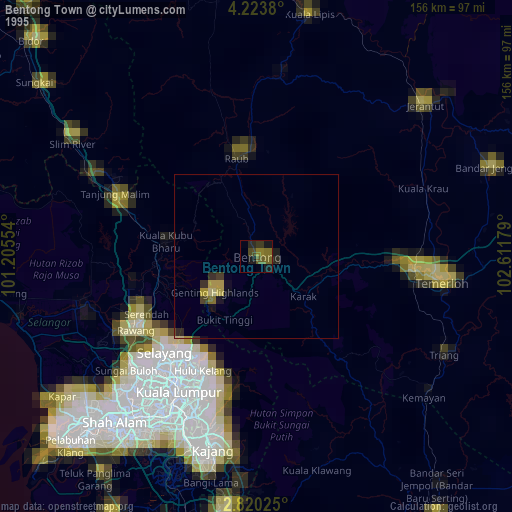
» NASA, Earths city lights 1995
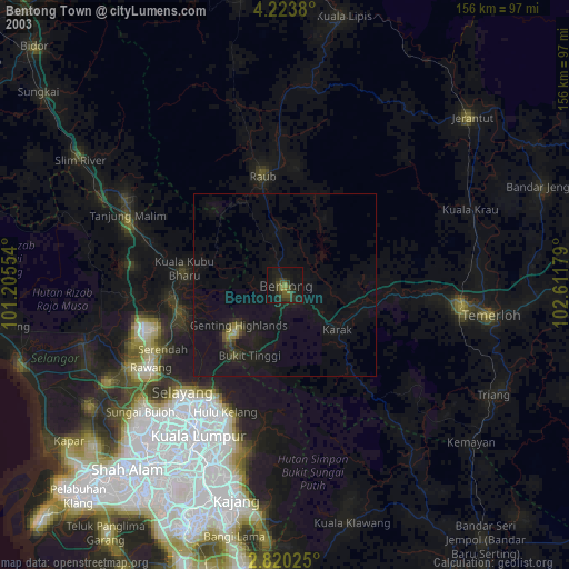
» NASA city lights 2003
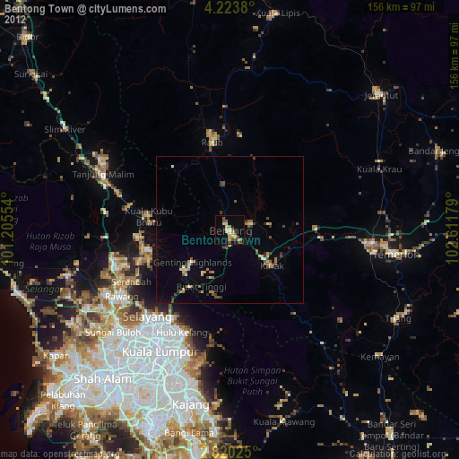
» Earth at Night: Flat Maps 2012, 2016