Raub night lights from space
Night Light of Raub (Pahang) from space (Malaysia) Src. Average luminocity for 10x10km area is 22.4567% and for 50x50km: 1.8089%.
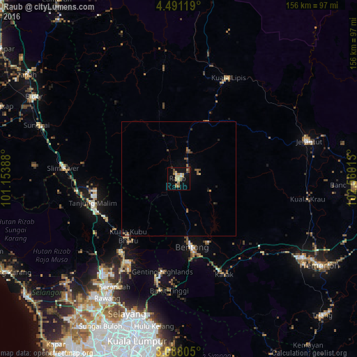
Analysis of Raub night lights 2016
Square area 10x10 km:
 1.08%
1.08%90-99
1.52%80-89
6.06%70-79
5.19%60-69
2.81%50-59
3.03%40-49
4.98%30-39
0%20-29
0.65%10-19
16.88%0-9
57.79%Square area 50x50 km:
0.04%90-99
0.09%80-89
0.3%70-79
0.25%60-69
0.27%50-59
0.47%40-49
0.44%30-39
0.17%20-29
0.2%10-19
0.84%0-9
96.92%Clear (daylight) street map image can be seen on geolist.org.
Map coordinates:
4° 29' 28.3" North, 101° 9' 14" East
3° 47' 23.6" North, 101° 51' 25.2" East
3° 5' 17" North, 102° 33' 36.5" East
Some cities around Raub sort by population:
• Rawang
60.7 km =37.7 mi,  210°
210°
• Bentong Town
30.3 km =18.8 mi,  169°
169°
• Mentekab
64.2 km =39.9 mi,  121°
121°
• Jerantut
58.4 km =36.3 mi,  73°
73°
• Serendah
55 km =34.2 mi, 210°
• Batang Berjuntai
66.6 km =41.4 mi,  227°
227°
• Kuala Lipis
48.6 km =30.2 mi,  25°
25°
• Kampung Bukit Tinggi, Bentong
49.1 km =30.5 mi,  183°
183°
1732663 (p: 40,024)
Sources (retrieved 2019-11-25):
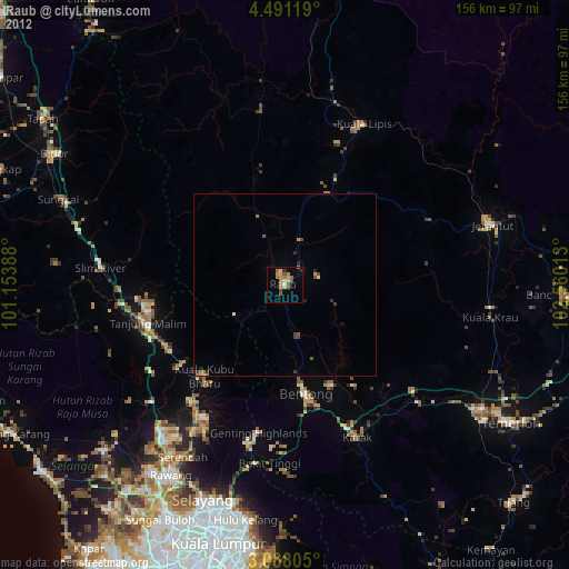
» Earth at Night: Flat Maps 2012, 2016