Mentekab night lights from space
Night Light of Mentekab (Pahang) from space (Malaysia) Src. Average luminocity for 10x10km area is 36.0195% and for 50x50km: 4.7746%.
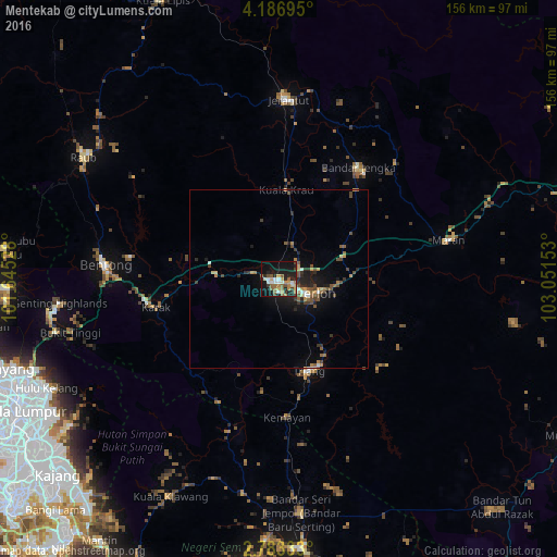
Analysis of Mentekab night lights 2016
Square area 10x10 km:
 3.68%
3.68%90-99
5.63%80-89
3.9%70-79
5.84%60-69
4.98%50-59
8.87%40-49
3.25%30-39
3.68%20-29
12.12%10-19
32.25%0-9
15.8%Square area 50x50 km:
0.29%90-99
0.39%80-89
0.42%70-79
0.64%60-69
0.7%50-59
0.95%40-49
1.13%30-39
0.73%20-29
1.34%10-19
3.8%0-9
89.6%Clear (daylight) street map image can be seen on geolist.org.
Map coordinates:
4° 11' 13" North, 101° 38' 43" East
3° 29' 7.4" North, 102° 20' 54.2" East
2° 46' 60" North, 103° 3' 5.5" East
Some cities around Mentekab sort by population:
• Ampang
74.6 km =46.4 mi,  239°
239°
• Semenyih
81.7 km =50.8 mi,  223°
223°
• Temerluh
8.6 km =5.3 mi,  116°
116°
• Bentong Town
49 km =30.4 mi,  274°
274°
• Raub
64.2 km =39.9 mi,  301°
301°
• Jerantut
50.1 km =31.1 mi,  1°
1°
• Bahau
75.6 km =47 mi,  175°
175°
• Kampung Bukit Tinggi, Bentong
59.9 km =37.2 mi,  255°
255°
1735018 (p: 42,171)
Sources (retrieved 2019-11-25):
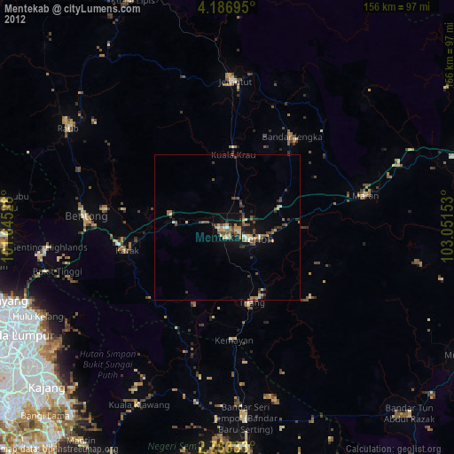
» Earth at Night: Flat Maps 2012, 2016