Muar night lights from space
Night Light of Muar (Johor) from space (Malaysia) Src. Average luminocity for 10x10km area is 66.5844% and for 50x50km: 18.2614%.
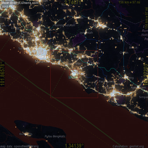
Analysis of Muar night lights 2016
Square area 10x10 km:
 16.02%
90-99
17.53%80-89
4.11%70-79
9.96%60-69
9.31%50-59
15.8%40-49
9.09%30-39
2.81%20-29
8.66%10-19
6.71%0-9
0%Square area 50x50 km:
1.05%90-99
1.51%80-89
0.93%70-79
2.27%60-69
3.33%50-59
4.79%40-49
5.43%30-39
3.25%20-29
6.09%10-19
18.94%0-9
52.41%Clear (daylight) street map image can be seen on geolist.org.
Map coordinates:
2° 44' 48.2" North, 101° 51' 56.8" East
2° 2' 39.1" North, 102° 34' 8" East
1° 20' 29" North, 103° 16' 19.3" East
Some cities around Muar sort by population:
• Malacca
40.2 km =25 mi,  294°
294°
• Kampung Bukit Baharu
36.8 km =22.9 mi,  301°
301°
• Kampung Ayer Keroh
40.4 km =25.1 mi,  307°
307°
• Tangkak
24.9 km =15.5 mi,  353°
353°
• Bakri
9.3 km =5.8 mi,  90°
90°
• Batu Berendam
42.5 km =26.4 mi, 302°
• Kampung Ayer Molek
32.8 km =20.4 mi, 305°
• Bemban
33 km =20.5 mi,  319°
319°
1732869 (p: 127,897)
Sources (retrieved 2019-11-25):
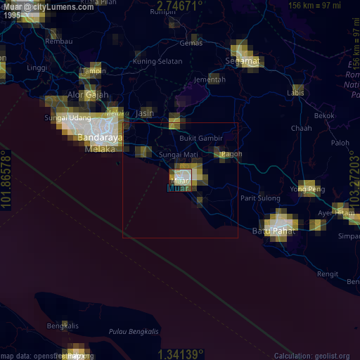
» NASA, Earths city lights 1995
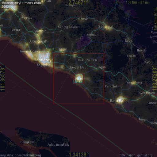
» NASA city lights 2003
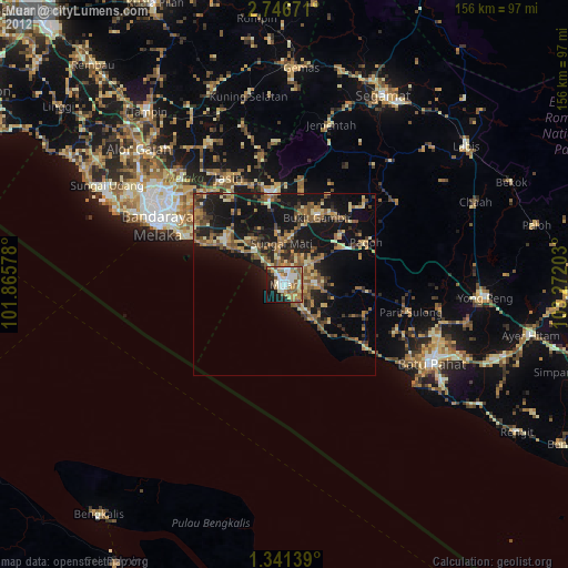
» Earth at Night: Flat Maps 2012, 2016