Bedong night lights from space
Night Light of Bedong (Kedah) from space (Malaysia) Src. Average luminocity for 10x10km area is 49.8099% and for 50x50km: 18.7514%.
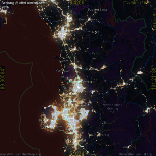
Analysis of Bedong night lights 2016
Square area 10x10 km:
 10.33%
90-99
10.54%80-89
6.61%70-79
4.34%60-69
7.23%50-59
7.64%40-49
3.1%30-39
10.12%20-29
13.84%10-19
25%0-9
1.24%Square area 50x50 km:
3.4%90-99
2.79%80-89
1.47%70-79
1.87%60-69
2.52%50-59
2.82%40-49
3.77%30-39
3.57%20-29
4.96%10-19
10.39%0-9
62.43%Clear (daylight) street map image can be seen on geolist.org.
Map coordinates:
6° 25' 35.8" North, 99° 48' 20.3" East
5° 43' 38.7" North, 100° 30' 31.5" East
5° 1' 38.6" North, 101° 12' 42.8" East
Some cities around Bedong sort by population:
• George Town
40.1 km =24.9 mi,  208°
208°
• Sungai Petani
9.2 km =5.7 mi,  194°
194°
• Tasek Glugor
27.5 km =17.1 mi,  182°
182°
• Butterworth
39.9 km =24.8 mi,  203°
203°
• Permatang Kuching
32.6 km =20.3 mi, 205°
• Tanjung Tokong
37.1 km =23.1 mi,  216°
216°
• Kepala Batas
25.1 km =15.6 mi, 201°
• Gurun
10.7 km =6.6 mi,  338°
338°
1734439 (p: 47,585)
Sources (retrieved 2019-11-25):
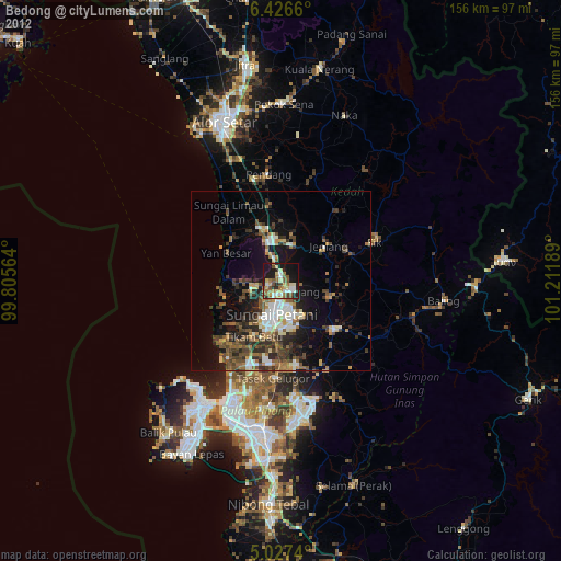
» Earth at Night: Flat Maps 2012, 2016