Uriangato night lights from space
Night Light of Uriangato (Guanajuato) from space (Mexico) Src. Average luminocity for 10x10km area is 44.3968% and for 50x50km: 10.311%.
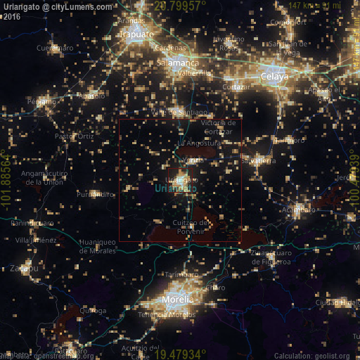
Analysis of Uriangato night lights 2016
Square area 10x10 km:
 2.38%
2.38%90-99
6.35%80-89
10.12%70-79
9.72%60-69
10.71%50-59
2.38%40-49
3.97%30-39
3.37%20-29
17.06%10-19
32.94%0-9
0.99%Square area 50x50 km:
0.16%90-99
0.55%80-89
1.84%70-79
1.38%60-69
1.71%50-59
1.35%40-49
2.12%30-39
1.41%20-29
2.03%10-19
9.49%0-9
77.96%Clear (daylight) street map image can be seen on geolist.org.
Map coordinates:
20° 47' 58.5" North, 101° 53' 8.3" West
20° 8' 27.1" North, 101° 10' 57" West
19° 28' 45.6" North, 100° 28' 45.8" West
Some cities around Uriangato sort by population:
• Valle de Santiago
27.9 km =17.3 mi,  357°
357°
• Moroleón
2 km =1.2 mi,  210°
210°
• Yuriria
9.4 km =5.8 mi,  34°
34°
• Cuitzeo del Porvenir
19.4 km =12.1 mi,  167°
167°
• San Nicolás de los Agustinos
25.4 km =15.8 mi,  62°
62°
• Santa Ana Maya
22.4 km =13.9 mi,  131°
131°
• Huandacareo
19.3 km =12 mi, 210°
• Cerano
21.7 km =13.5 mi,  260°
260°
3980777 (p: 51,382)
Sources (retrieved 2019-11-25):
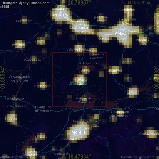
» NASA, Earths city lights 1995
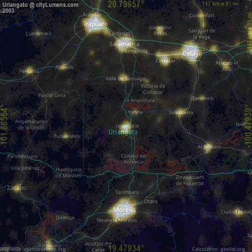
» NASA city lights 2003
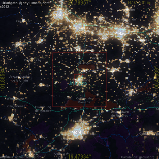
» Earth at Night: Flat Maps 2012, 2016