San Nicolás de los Agustinos night lights from space
Night Light of San Nicolás de los Agustinos (Guanajuato) from space (Mexico) Src. Average luminocity for 10x10km area is 26.9405% and for 50x50km: 18.1981%.
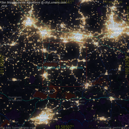
Analysis of San Nicolás de los Agustinos night lights 2016
Square area 10x10 km:
 0%
0%90-99
0.79%80-89
5.75%70-79
5.16%60-69
3.17%50-59
5.56%40-49
4.37%30-39
3.97%20-29
4.76%10-19
57.34%0-9
9.13%Square area 50x50 km:
0.37%90-99
1.19%80-89
3.23%70-79
3.09%60-69
2.68%50-59
1.99%40-49
3.54%30-39
3.16%20-29
4.68%10-19
20.67%0-9
55.39%Clear (daylight) street map image can be seen on geolist.org.
Map coordinates:
20° 54' 15.9" North, 101° 40' 11.7" West
20° 14' 46.1" North, 100° 58' 0.4" West
19° 35' 6.3" North, 100° 15' 49.2" West
Some cities around San Nicolás de los Agustinos sort by population:
• Cortazar
26.4 km =16.4 mi,  0°
0°
• Uriangato
25.4 km =15.8 mi,  242°
242°
• Moroleón
27.1 km =16.8 mi, 240°
• Salvatierra
9.7 km =6 mi,  112°
112°
• Yuriria
17.7 km =11 mi,  257°
257°
• Jaral del Progreso
17.2 km =10.7 mi,  324°
324°
• Tarimoro
22.5 km =14 mi,  79°
79°
• Urireo
13.5 km =8.4 mi, 105°
3985248 (p: 7,148)
Sources (retrieved 2019-11-25):
» Earth at Night: Flat Maps 2012, 2016