Valle de Santiago night lights from space
Night Light of Valle de Santiago (Guanajuato) from space (Mexico) Src. Average luminocity for 10x10km area is 37.1231% and for 50x50km: 26.2677%.
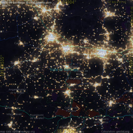
Analysis of Valle de Santiago night lights 2016
Square area 10x10 km:
 1.89%
1.89%90-99
5.49%80-89
8.33%70-79
3.41%60-69
6.06%50-59
3.41%40-49
6.63%30-39
7.01%20-29
11.74%10-19
43.94%0-9
2.08%Square area 50x50 km:
1.24%90-99
2.16%80-89
5.08%70-79
4.17%60-69
3.49%50-59
3.07%40-49
6.8%30-39
6.44%20-29
8.37%10-19
18.41%0-9
40.76%Clear (daylight) street map image can be seen on geolist.org.
Map coordinates:
21° 2' 56.5" North, 101° 53' 43.3" West
20° 23' 29" North, 101° 11' 32" West
19° 43' 51.4" North, 100° 29' 20.8" West
Some cities around Valle de Santiago sort by population:
• Salamanca
20.1 km =12.5 mi,  0°
0°
• Villagrán
24.5 km =15.2 mi,  55°
55°
• Yuriria
21 km =13 mi,  162°
162°
• Jaral del Progreso
13.7 km =8.5 mi,  98°
98°
• Valtierrilla
17.1 km =10.6 mi,  23°
23°
• Mexicanos
19.9 km =12.4 mi,  39°
39°
• Cerro Gordo
23.4 km =14.5 mi, 16°
• Sarabia
19.9 km =12.4 mi, 43°
3980605 (p: 68,058)
Sources (retrieved 2019-11-25):
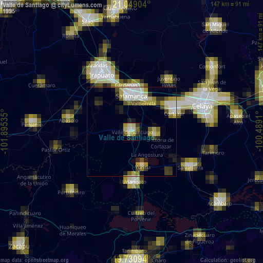
» NASA, Earths city lights 1995
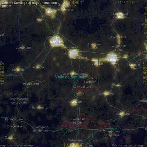
» NASA city lights 2003
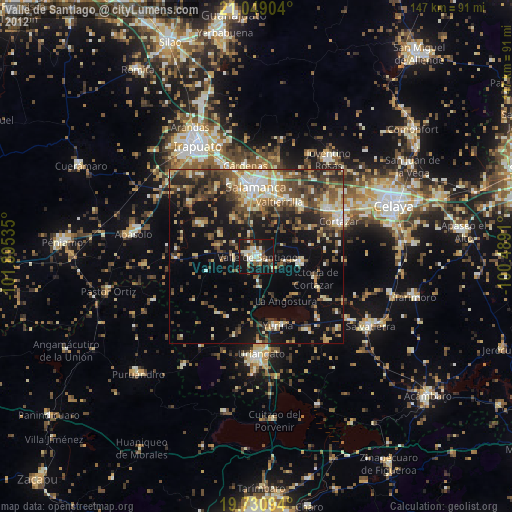
» Earth at Night: Flat Maps 2012, 2016