Moroleón night lights from space
Night Light of Moroleón (Guanajuato) from space (Mexico) Src. Average luminocity for 10x10km area is 44.0972% and for 50x50km: 9.8775%.
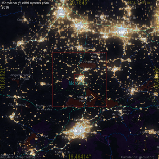
Analysis of Moroleón night lights 2016
Square area 10x10 km:
 2.38%
2.38%90-99
6.35%80-89
9.72%70-79
9.33%60-69
11.71%50-59
4.37%40-49
3.57%30-39
4.37%20-29
11.9%10-19
29.76%0-9
6.55%Square area 50x50 km:
0.16%90-99
0.55%80-89
1.79%70-79
1.31%60-69
1.7%50-59
1.31%40-49
2.05%30-39
1.43%20-29
1.91%10-19
8.31%0-9
79.49%Clear (daylight) street map image can be seen on geolist.org.
Map coordinates:
20° 47' 4.2" North, 101° 53' 42.8" West
20° 7' 32.6" North, 101° 11' 31.5" West
19° 27' 50.9" North, 100° 29' 20.3" West
Some cities around Moroleón sort by population:
• Valle de Santiago
29.5 km =18.3 mi,  359°
359°
• Uriangato
2 km =1.2 mi,  30°
30°
• Yuriria
11.3 km =7 mi, 33°
• Cuitzeo del Porvenir
18 km =11.2 mi,  163°
163°
• San Nicolás de los Agustinos
27.1 km =16.8 mi,  60°
60°
• Santa Ana Maya
22.1 km =13.7 mi,  126°
126°
• Huandacareo
17.3 km =10.7 mi,  210°
210°
• Cerano
20.4 km =12.7 mi,  264°
264°
3995343 (p: 43,200)
Sources (retrieved 2019-11-25):
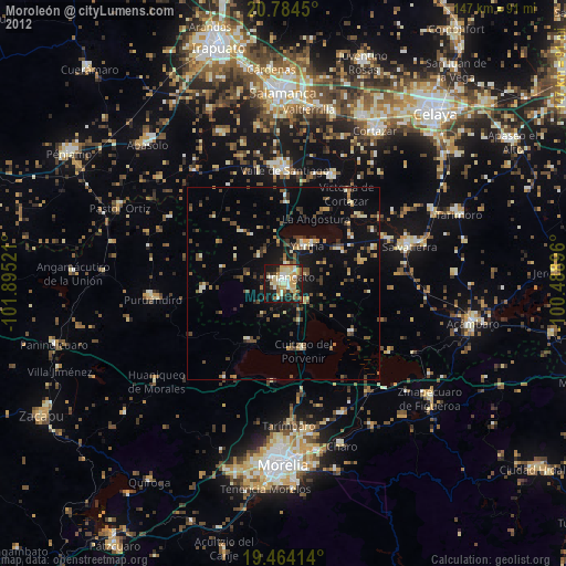
» Earth at Night: Flat Maps 2012, 2016